Lochrig
Lochrig is a hamlet in Scotland, United Kingdom. Lochrig is situated nearby to the hamlets Kames East Mains and Bughtrig.Notable Places in the Area
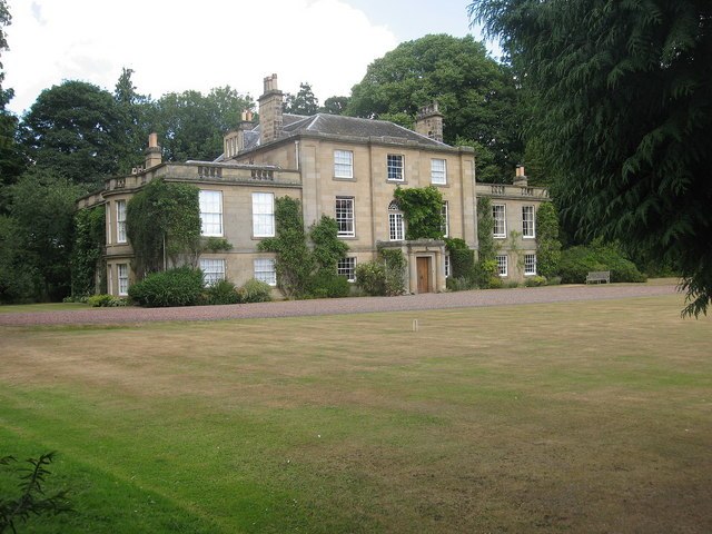
Charterhall
Aerodrome
Photo: Richard Webb, CC BY-SA 2.0.
Royal Air Force Charterhall or more simply RAF Charterhall is a former Royal Air Force station located in the Scottish Borders and the historic county of Berwickshire between the village of Greenlaw and Duns. Charterhall is situated 2 miles west of Lochrig.
Localities in the Area
Leitholm
Village
Photo: Richard Webb, CC BY-SA 2.0.
Leitholm is a village in the Scottish Borders area of Scotland, 4 miles north-west of Coldstream, in the former county of Berwickshire.
Swinton
Village

Photo: John Whelan, CC BY-SA 2.0.
Swinton is a small village in the Scottish Borders. Swinton is situated 2½ miles east of Lochrig.
Eccles
Village

Photo: james denham, CC BY-SA 2.0.
Eccles is a village and agricultural parish near Kelso in Berwickshire in the Scottish Borders area of Scotland. Eccles is situated 3½ miles southwest of Lochrig.
Lochrig
- Type: Hamlet
- Category: locality
- Location: Scotland, United Kingdom, Britain and Ireland, Europe
- View on OpenStreetMap
Latitude
55.70499° or 55° 42' 18" northLongitude
-2.32867° or 2° 19' 43" westOpen Location Code
9C7VPM3C+XGOpenStreetMap ID
node 2293997461OpenStreetMap Feature
place=hamletLochrig Satellite Map
© OpenStreetMap, Mapbox and Maxar
Other Places Named Lochrig
In the Area
Localities
- KamesHamlet
- West PrintonanHamlet
- PrintonanHamlet
- Kames West MainsHamlet
- Leitholm MillHamlet
- Swinton MillHamlet
Landmarks
- East Lodge, BughtrigResidential building
- KamesResidential building
- Kames, StablesBuilding
- Leitholm Village HallCommunity center
- Leitholm CemeteryCemetery
- Pike RigPeak
Escape to a Random Place
Discover the hamlets Yingcun in Jiangmen, China and Cacinheira in Ourém, Portugal.
About Mapcarta. Thanks to Mapbox for providing amazing maps. Data © OpenStreetMap contributors and available under the Open Database License. Text is available under the CC BY-SA 4.0 license, excluding photos, directions and the map. Photo: Ritchyblack, FAL.