


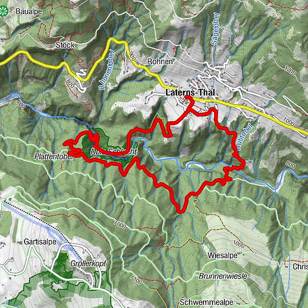
Tour data
6.3km
652
- 923m
322hm
387hm
02:30h
- Brief description
-
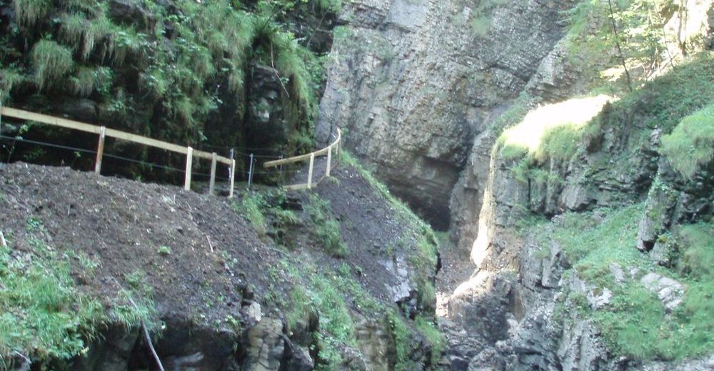
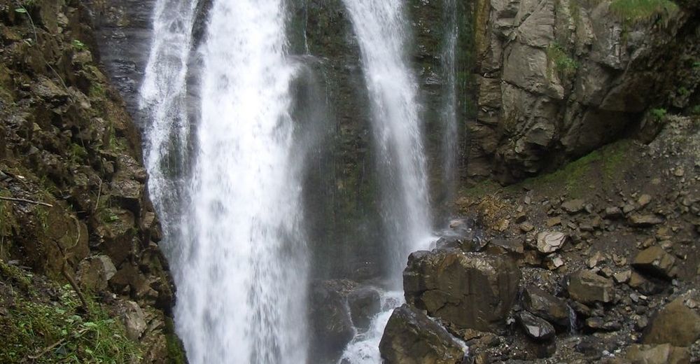
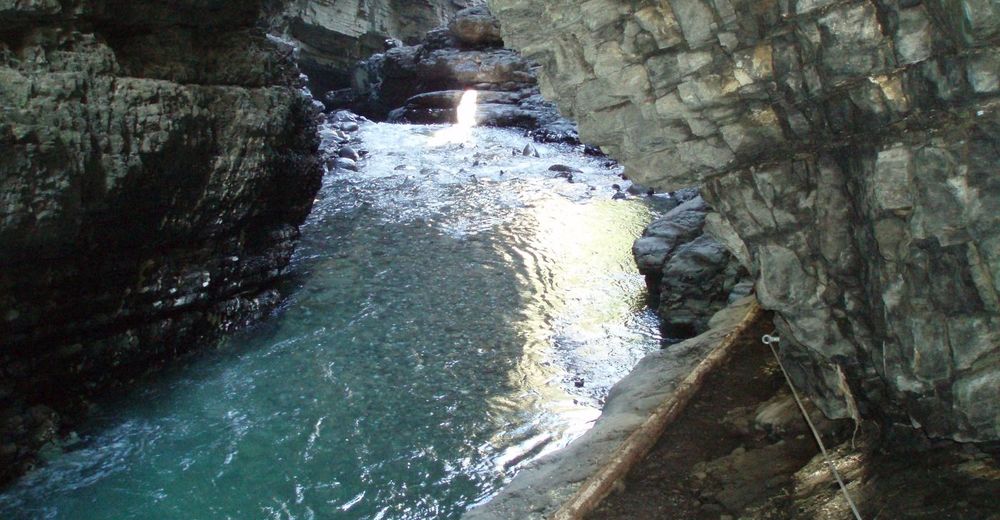
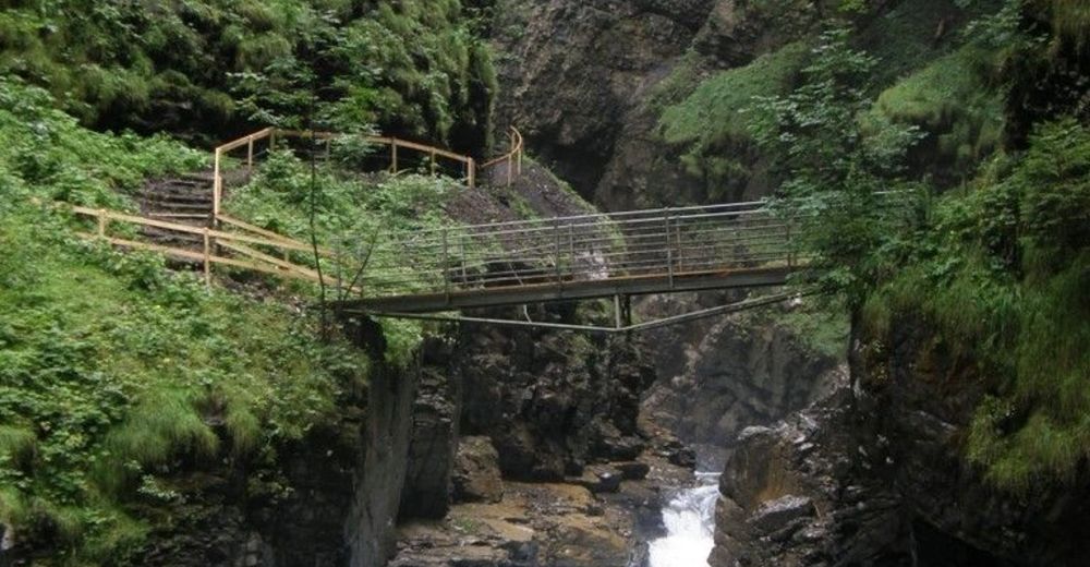
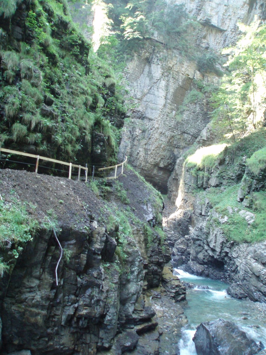
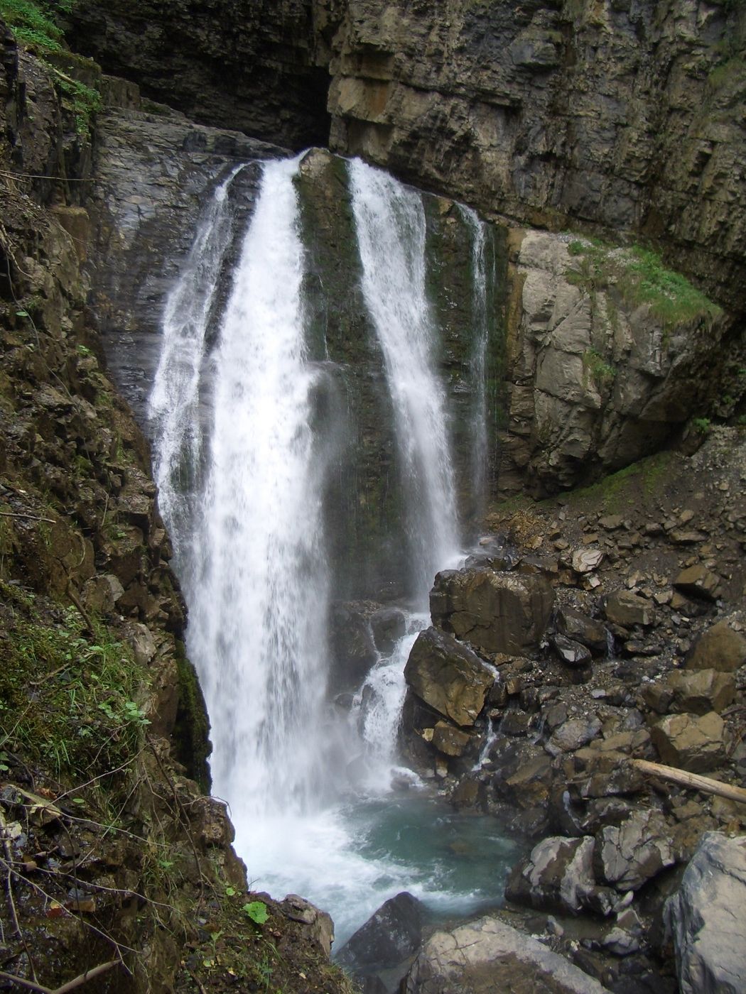
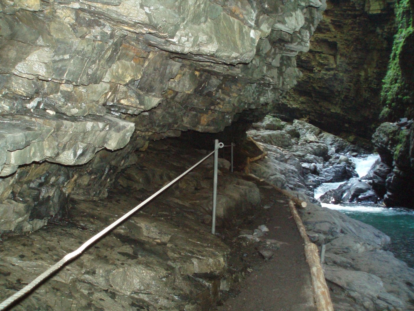
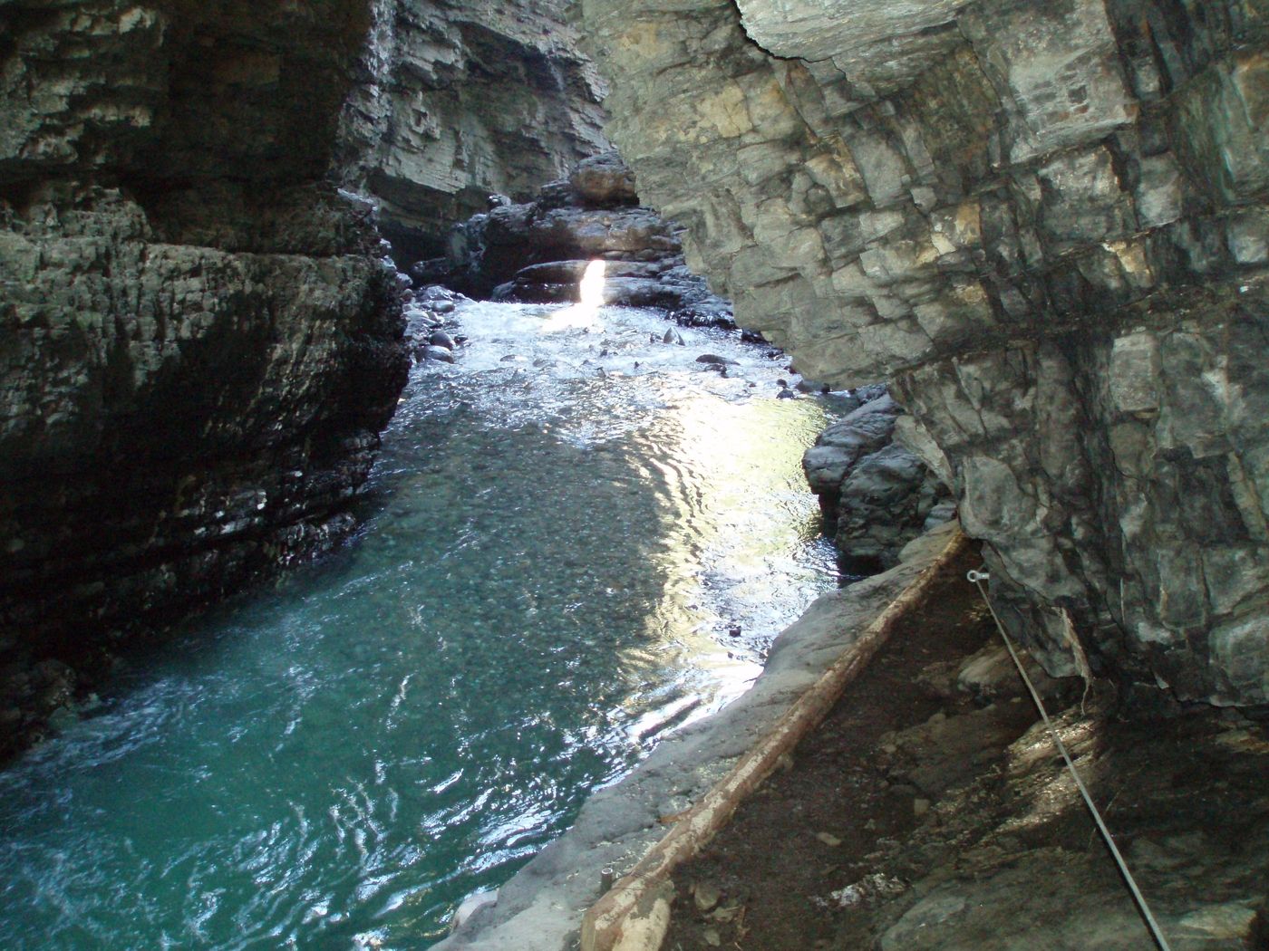
Beindruckende Schluchtenwanderung.
- Difficulty
-
medium
- Rating
-
- Starting point
-
Laterns-Thal
- Route
-
Hl. Nikolaus0.0 kmLaterns-Thal0.1 kmOb der Üble-Schlucht2.5 kmKrömerstobel4.3 kmHl. Nikolaus6.3 km
- Best season
-
JanFebMarAprMayJunJulAugSepOctNovDec
- Highest point
- 923 m
- Rest/Retreat
-
Bad Laterns, Gasthof "Löwen"
- Ticket material
-
Tourismusbüro Laterns, Tel.: +43 5526 203


GPS Downloads


Trail conditions
Asphalt
Gravel
Meadow
Forest
Rock
Exposed
Other tours in the regions
-
St. Gallen - Bodensee
2069
-
Alpenregion Vorarlberg
1785
-
Übersaxen
342


