Continental drift. Vector illustration of Pangaea, Laurasia, Gondwana, modern continents in flat style. The movement of mainlands on the planet Earth in different periods from 250 MYA to Present. — Stock Vector

Continental drift. Vector illustration of Pangaea, Laurasia, Gondwana, modern continents in flat style. The movement of mainlands on the planet Earth in different periods from 250 MYA to Present. — Vector

Continental drift. Vector illustration of Pangaea, Laurasia, Gondwana, modern continents in flat style. The movement of mainlands on the planet Earth in different periods from 250 MYA to Present

 — Vector by tinki.v

Same Series:

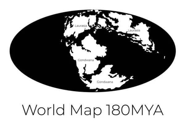
Map of the World 180MYA. Monochrome vector illustration of Worldmap with white continents and black oceans isolated on white background. Prehistoric projection. Silhouette. Element for your design
Map of the World 180MYA. Monochrome vector illustration of Worldmap with white continents and black oceans isolated on white background. Prehistoric projection. Silhouette. Element for your design. — Stock Vector
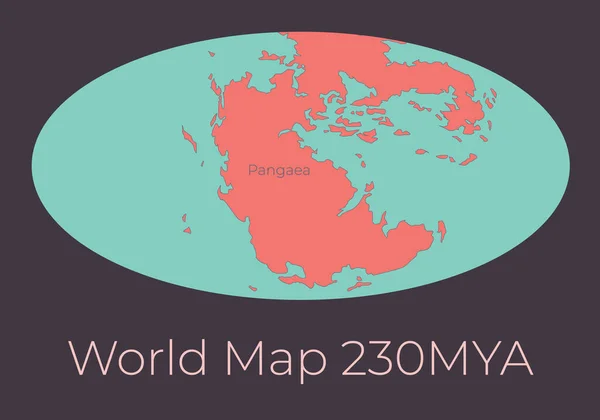
Map of the World 230MYA. Vector illustration of Worldmap with red continents and turquoise oceans isolated on dark grey background. Projection. Prehistoric Earth map. Element for your design
Map of the World 230MYA. Vector illustration of Worldmap with red continents and turquoise oceans isolated on dark grey background. Projection. Prehistoric Earth map. Element for your design. — Stock Vector
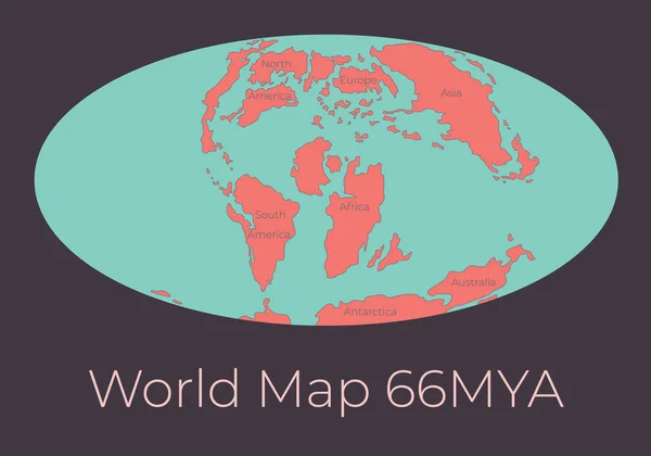
Map of the World 66MYA. Vector illustration of Worldmap with red continents and turquoise oceans isolated on dark grey background. Projection. Prehistoric Earth map. Element for your design
Map of the World 66MYA. Vector illustration of Worldmap with red continents and turquoise oceans isolated on dark grey background. Projection. Prehistoric Earth map. Element for your design. — Stock Vector
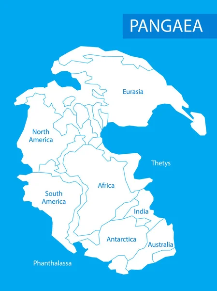
Pangaea or Pangea. Vector illustration of supercontinent that existed during the late Paleozoic and early Mesozoic eras. Map in flat style. Element for your design, print, education. Poster
Pangaea or Pangea. Vector illustration of supercontinent that existed during the late Paleozoic and early Mesozoic eras. Map in flat style. Element for your design, print, education. Poster. — Stock Vector
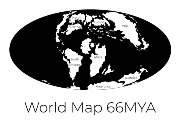
Map of the World 66MYA. Monochrome vector illustration of Worldmap with white continents and black oceans isolated on white background. Prehistoric projection. Silhouette. Element for your design
Map of the World 66MYA. Monochrome vector illustration of Worldmap with white continents and black oceans isolated on white background. Prehistoric projection. Silhouette. Element for your design. — Stock Vector
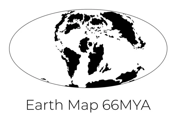
Silhouette of Map of the Earth 66MYA. Monochrome vector illustration of Earth map with black continents and white oceans isolated on white background. Projection. Prehistoric worldmap
Silhouette of Map of the Earth 66MYA. Monochrome vector illustration of Earth map with black continents and white oceans isolated on white background. Projection. Prehistoric worldmap. — Stock Vector
Map of the World. Monochrome vector illustration of Worldmap with white continents and black oceans isolated on white background. Nowadays projection. Silhouette. Element for your design
Map of the World. Monochrome vector illustration of Worldmap with white continents and black oceans isolated on white background. Nowadays projection. Silhouette. Element for your design. — Stock Vector
Silhouette of Map of the Earth. Monochrome vector illustration of Earth map with black continents and white oceans isolated on white background. Nowadays projection. Stencil. Worldmap
Silhouette of Map of the Earth. Monochrome vector illustration of Earth map with black continents and white oceans isolated on white background. Nowadays projection. Stencil. Worldmap. — Stock Vector

Similar Stock Videos:
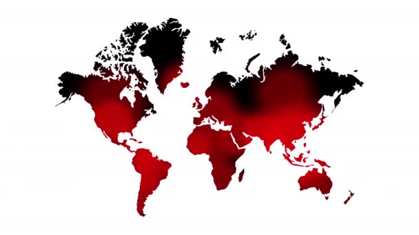
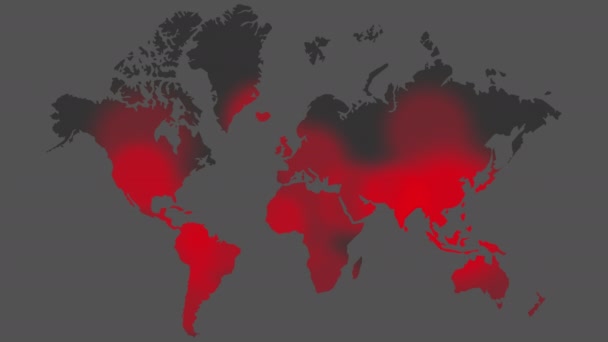
Spread of the virus from China around the world. concept art of chinese corona virus. covid-19. Coronavirus epidemic. pandemic of covid.
Spread of the virus from China around the world — Stock Video
Spread of the virus from China around the world. concept art of chinese corona virus. covid-19. Coronavirus epidemic. pandemic of covid.
Spread of the virus from China around the world — Stock Video
Spread of the virus from China around the world. concept art of chinese corona virus. covid-19. Coronavirus epidemic. pandemic of covid.
Spread of the virus from China around the world — Stock Video
Animation of world map with individual countries
Animation of world map with individual countries — Stock Video
World map animation drawn with lines ( 4K | MP4 )
World Map Animation Drawn Lines Mp4 — Stock Video
Coronavirus COVID-19 Map Spreading. Pandemic World Map. Virus Infection. Animation. 4K Resolution
Coronavirus Covid Map Spreading Pandemic World Map Virus Infection Animation — Stock Video
Coronavirus disease, new spreading virus. Medical technology concept
Coronavirus Disease New Spreading Virus Medical Technology Concept — Stock Video
Gray background, 2 in 1, loop (151-450 frames), alpha matte, created in 4K, 3d animation
World Map Turns Into a Globe. A look inside — Stock Video
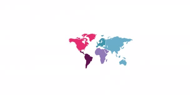
Animation of colourful world map on white background. global travel and connection concept digitally generated video.
Animation Colourful World Map White Background Global Travel Connection Concept — Stock Video
World map on the wall pan left to right
World map on the wall — Stock Video
Points appear on the world map. Outbreaks Epidemic, virus. Dissemination of knowledge, social networks, technologies. Black and white background. 4K.
Points Appear World Map Outbreaks Epidemic Virus Dissemination Knowledge Social — Stock Video
Animation of a social network diagram on a world map. Network connection from different parts of the world. The concept of cooperation, communication or connection. Alpha channel. 4K
Animation of a social network diagram on a world map. Network connection from different parts of the world. The concept of cooperation, communication or connection. Alpha channel. 4K — Stock Video
Animation of colourful world map on white background. global travel and connection concept digitally generated video.
Animation Colourful World Map White Background Global Travel Connection Concept — Stock Video
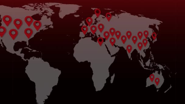
Outbreak map of novel coronavirus 2019-nCoV. Animated map of dark blue color with red icons appearing.
Outbreak Map Novel Coronavirus 2019 Ncov Animated Map Dark Blue — Stock Video
Coronavirus infection world map. Virus spread. COVID-19.
Coronavirus infection world map. COVID-19 spread. Epidemic spread. Corona-virus. — Stock Video
Coronavirus infection world map. Virus spread. COVID-19.
Coronavirus infected the planet. COVID-19 infection world map. Virus spread. — Stock Video
World map of Corona virus COVID-19, Chinese virus infection with red pointer, 4k Resolution.
World map of Corona virus COVID-19, Chinese virus infection with red pointer — Stock Video

Usage Information

You can use this royalty-free vector image "Continental drift. Vector illustration of Pangaea, Laurasia, Gondwana, modern continents in flat style. The movement of mainlands on the planet Earth in different periods from 250 MYA to Present." for personal and commercial purposes according to the Standard or Extended License. The Standard License covers most use cases, including advertising, UI designs, and product packaging, and allows up to 500,000 print copies. The Extended License permits all use cases under the Standard License with unlimited print rights and allows you to use the downloaded vector files for merchandise, product resale, or free distribution.

This stock vector image is scalable to any size. You can buy and download it in high resolution up to 6418x5000. Upload Date: Jan 13, 2020