
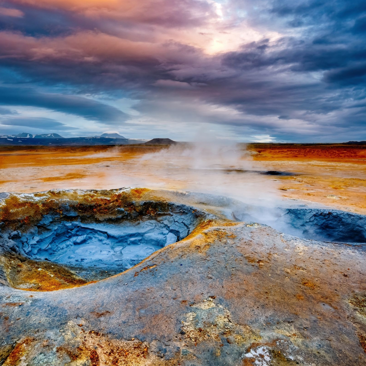
Why Geothermal Exploration Matters:
At Bell Geospace, we believe that science can pave the way for a sustainable energy future. Geothermal energy plays a crucial role in reducing carbon emissions and combating climate change. By utilizing FTG technology, you contribute to unlocking the full potential of geothermal resources and advancing the clean energy revolution.
Geothermal energy is one of the most sustainable and reliable sources of renewable energy available today. Understanding the subsurface geological structures is crucial for identifying favorable geothermal reservoirs, predicting resource productivity, and maximizing the efficiency of geothermal energy production. Bell Geospace FTG is your ultimate partner in this mission.
There are 4 common scenarios where measuring density using Bell Geospace FTG will add significant value
- Basin Geometry : Gravity Gradiometry can highlight the density contrasts within a basin caused by burial history and compaction of sediments
- Fault Offsets : Gravity Gradiometry is particuarly effective for mapping offsets on faults due to the differing densities of the rock types
- Intrusive Units : Igneous intrusives often have higher density than surrounding sediments
- Alteration or Silicification : Altered sediments may be depleted of specific minerals resulting in reduced density or be enriched in mineral precipitates which increases the density.
The Advantages of FTG for Geothermal Exploration:
- Unmatched Precision: FTG provides unmatched precision in mapping the subsurface density variations, aiding in identifying potential geothermal reservoirs and geological structures. With our high-resolution data, you can confidently make informed decisions on drilling targets and resource assessment.
- Comprehensive Subsurface Imaging: By capturing the full tensor of gravity gradients, FTG offers comprehensive imaging of subsurface structures, including fault systems, fractures, and fluid pathways. This detailed insight helps you understand the complex geology crucial to geothermal energy prospecting.
- Reduced Exploration Risk: Traditional exploration methods can be time-consuming and costly. Bell Geospace FTG accelerates the exploration process by rapidly surveying large areas with accuracy, reducing exploration risk, and increasing the likelihood of successful geothermal discoveries.
- Environmental Responsibility: We share your commitment to environmental responsibility. FTG is a non-invasive and eco-friendly exploration technique that minimizes disturbance to the surrounding ecosystems, aligning perfectly with sustainable geothermal development practices. Our community liason experience, advice and even outreach templates are available to clients.
- Customized Solutions: Every geothermal exploration project is unique. Our survey plans and workflows are adaptable and will be tailored to your project's specific requirements, whether you're conducting large regional surveys or detailed local investigations over a smaller city or area of interest.
Ready to find out if FTG could work for your Geothermal Exploration Project?
Use text and images to tell your company’s story. Explain what makes your product or service extraordinary.
Still thinking Standard (Scalar) Gravity will suffice?
You'll be missing out. You literally see more with gravity gradiometry than you can with standard (or scalar) gravity data. A gravimeter measures the vertical component of the Earth's gravity field as a scalar quantity (a magnitude described by a single number) whereas a gravity gradiometer measures the spatial rate of change in the gravity field as a vector quantity (both as magnitude and direction). Not to mention, the Bell Geospace team has unrivalled processing and interpretation techniques that can extrapolate amazing detail from all of this tensor intormation.
Gradiometry is more applicable to geothermal operations than gravity for the following reasons.
1. Higher Resolution Data at the Near Surface
Gradient measurements have the capability to resolve smaller wavelengths compared to scalar gravity. As a consequence, this leads to significantly improved resolution at the near-surface level, resulting in a clearer and more accurate representation of geophysical targets. This advantage proves to be crucial for geothermal operators as they comprehend the geological significance of the top 500 meters of the subsurface concerning geothermal activities.
2. An Ability to Detect Edges
Scalar gravity primarily identifies the center of mass of a given target, while gravity gradiometry, on the other hand, is capable of detecting the areas where the gravity gradient experiences the most rapid changes, particularly at the edges of geophysical targets. As a consequence, this method excels at edge detection, making it highly effective in interpreting faults, identifying geological boundaries, and mapping structural features. This capability proves to be particularly valuable for geothermal exploration teams dealing with blind geothermal systems, where faults lack any surface expression, as it allows them to discern and understand the subsurface structures more accurately.
3. Multiple Independent Data Sets
Full Tensor Gradiometry provides multiple independent data sets, which automatically introduces additional constraints for interpretations and inversions. As a result, this approach effectively eliminates the ambiguity that is often associated with other potential fields methods. By doing so, it enables geothermal exploration teams to obtain a more dependable and accurate interpretation of the data compared to what could be achieved through a scalar ground gravity survey. This enhanced reliability proves to be highly valuable for making informed decisions during geothermal exploration endeavors.
4. Cost Efficiency
Airborne methods offer a swift and cost-effective solution for conducting regional surveys. The use of airborne acquisition effectively overcomes various limitations, such as inaccessible land, potential cultural and community impacts, dense vegetation, and surface water obstacles. Although Full Tensor Gravity Gradiometry typically demands a budget twice that of a standard gravity survey, this added expense is easily justified by the significant advantages outlined in points 1 to 3. The improved data quality, enhanced near-surface resolution, ability to detect edges, and multiple independent data sets make the investment in Full Tensor Gravity Gradiometry a wise choice for geothermal exploration teams, ultimately leading to better decision-making and increased success in their endeavors.