


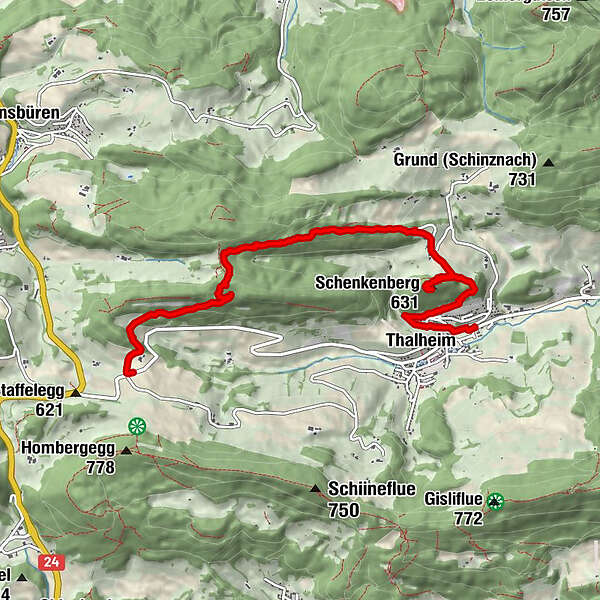
Tour data
6.96km
446
- 755m
156hm
367hm
02:01h
- Brief description
-
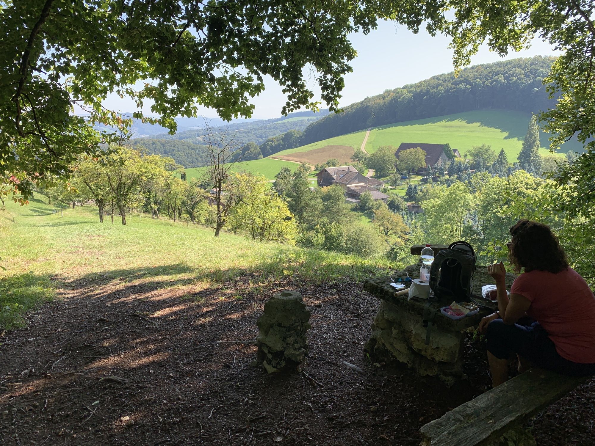
2 - 2,5 Stunden Wanderung Leicht-Mittel
- Difficulty
-
easy
- Rating
-
- Route
-
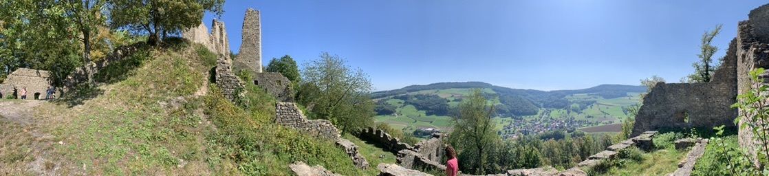
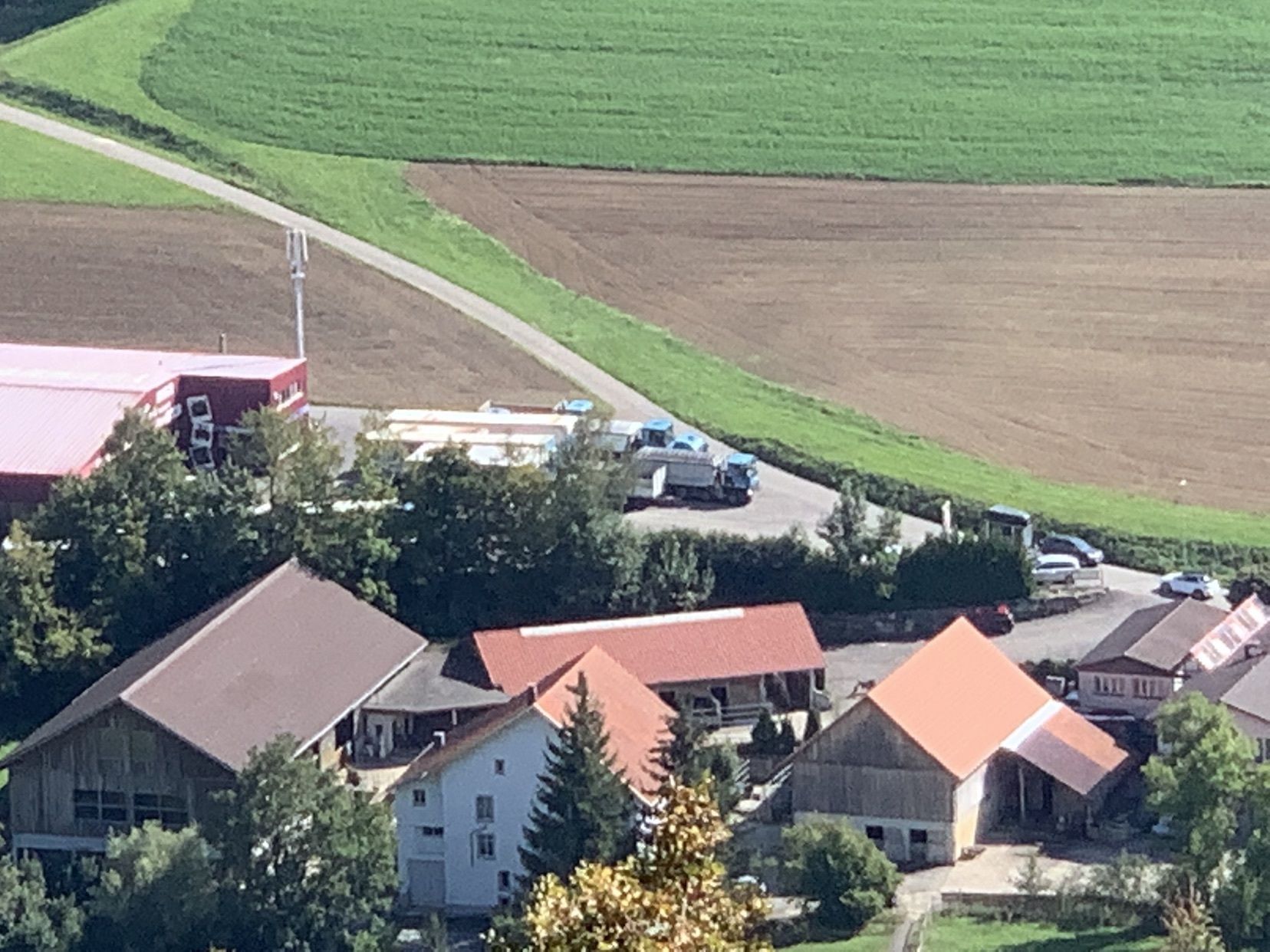
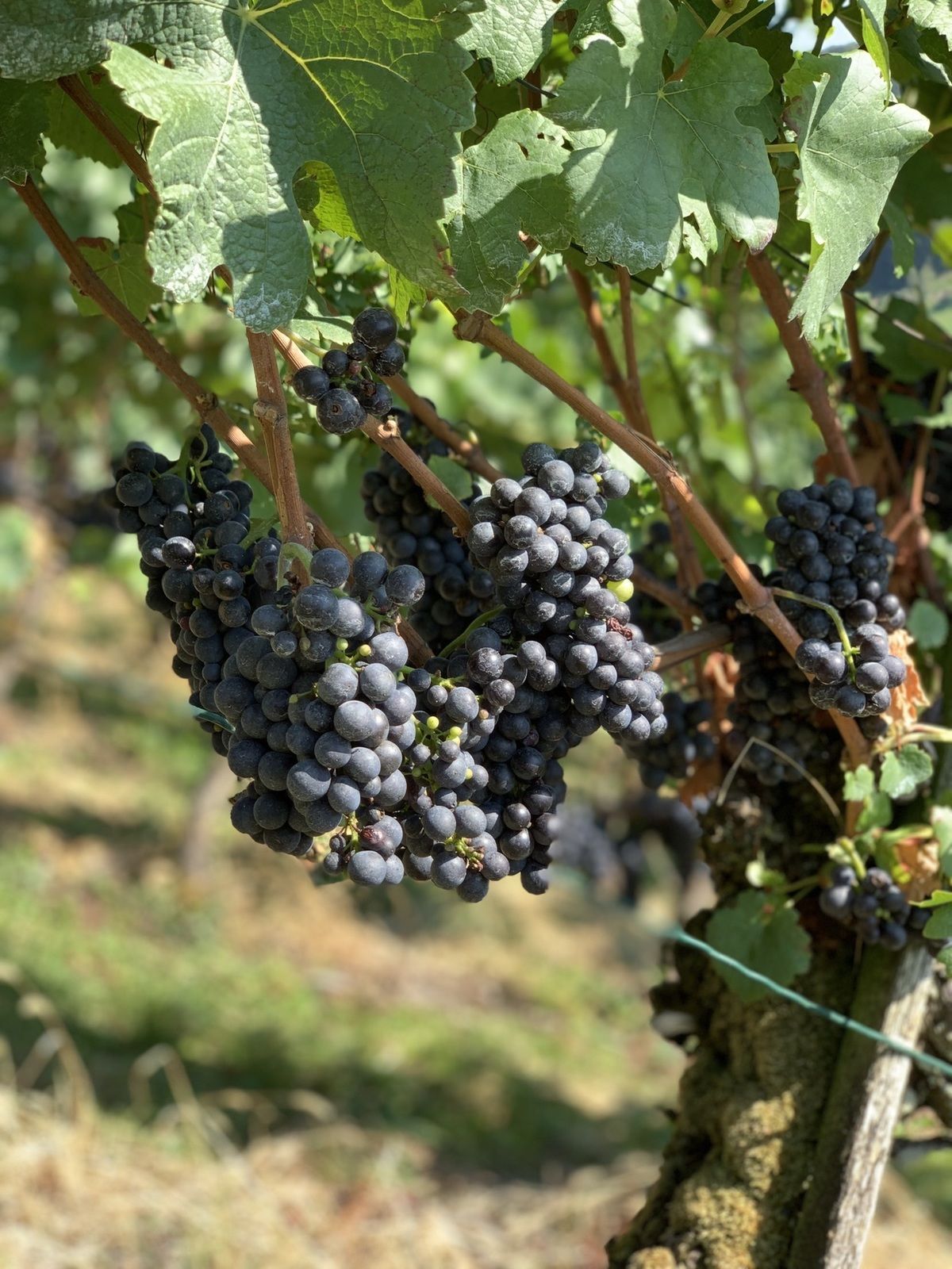
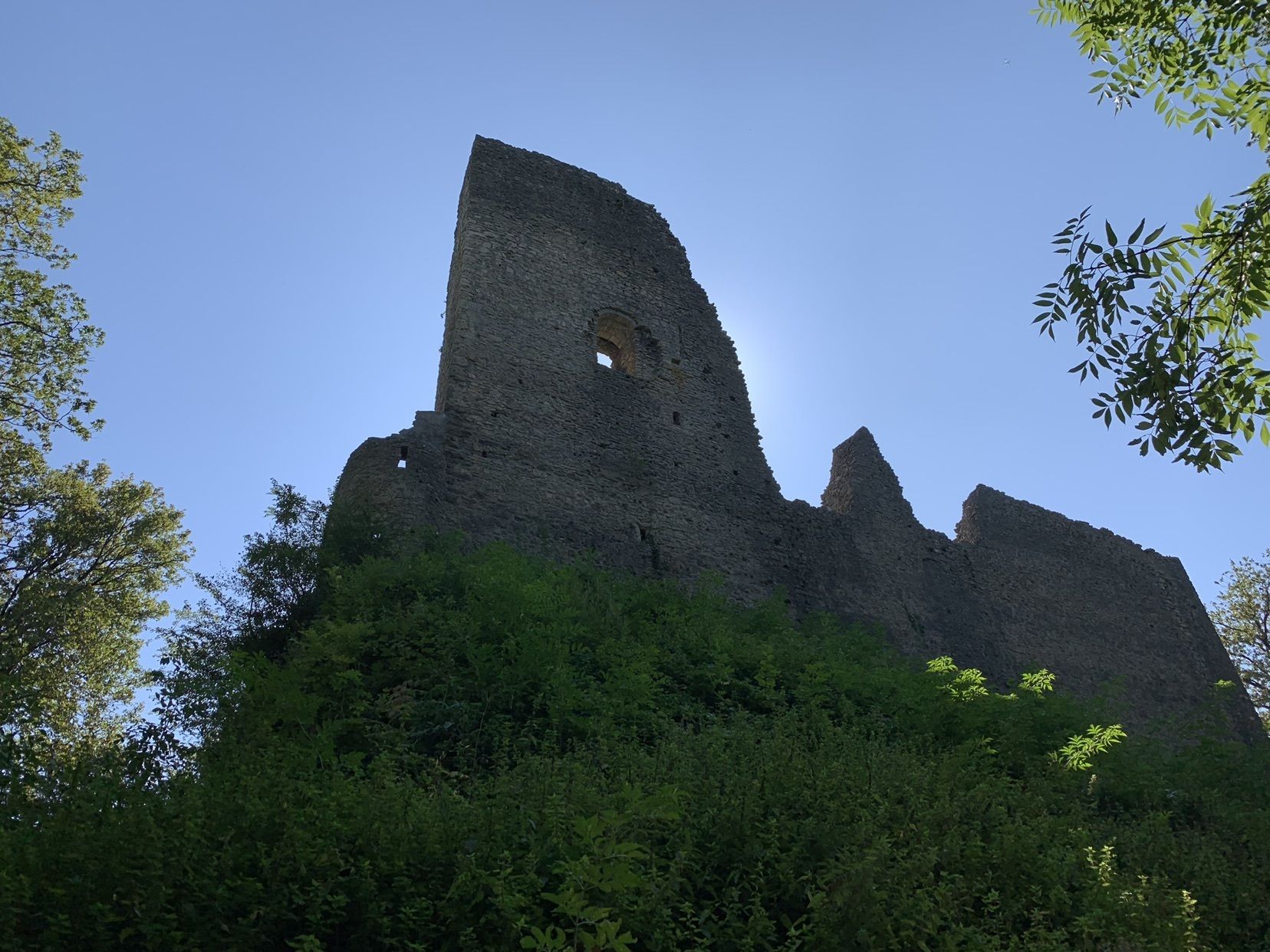
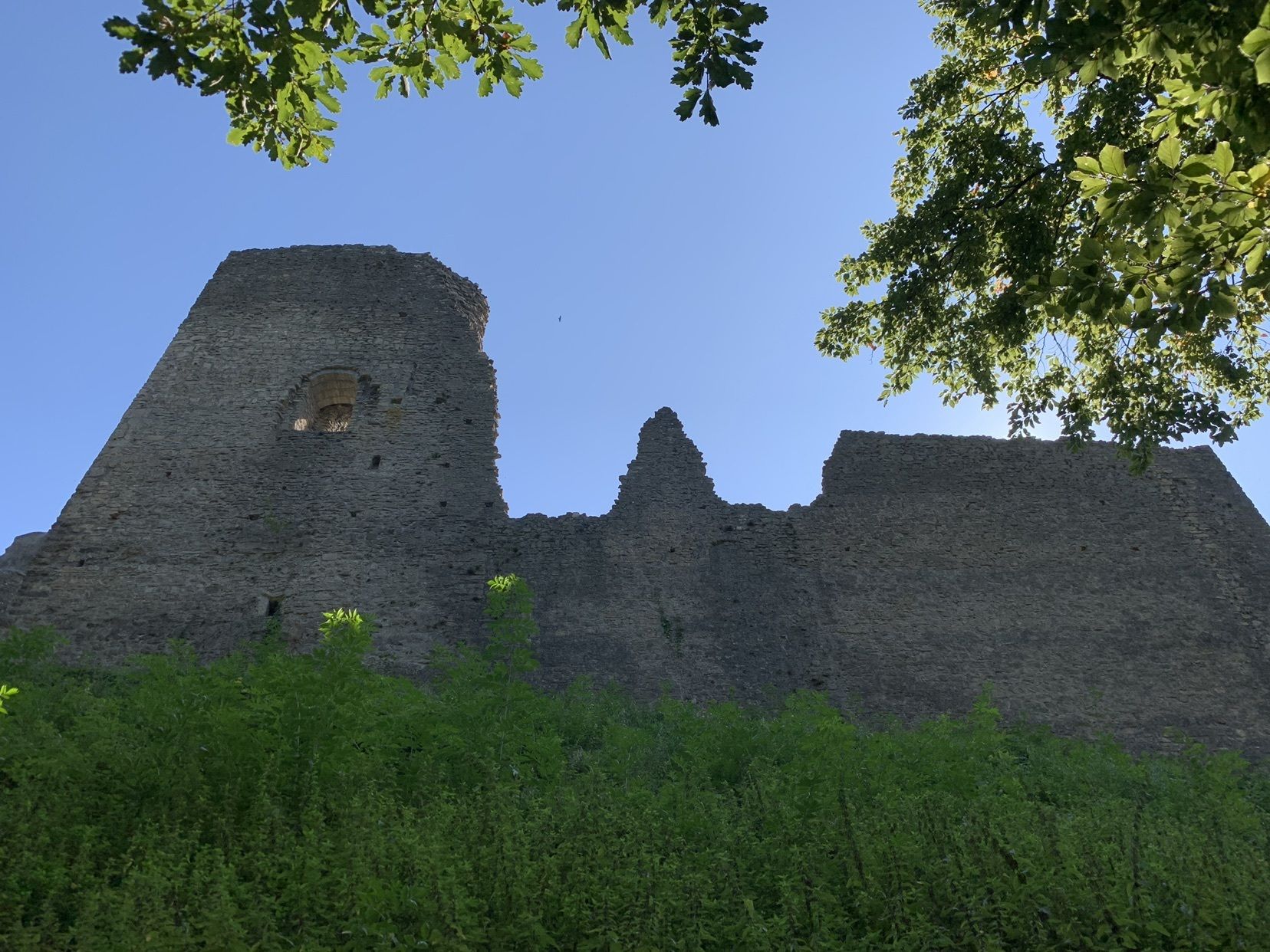
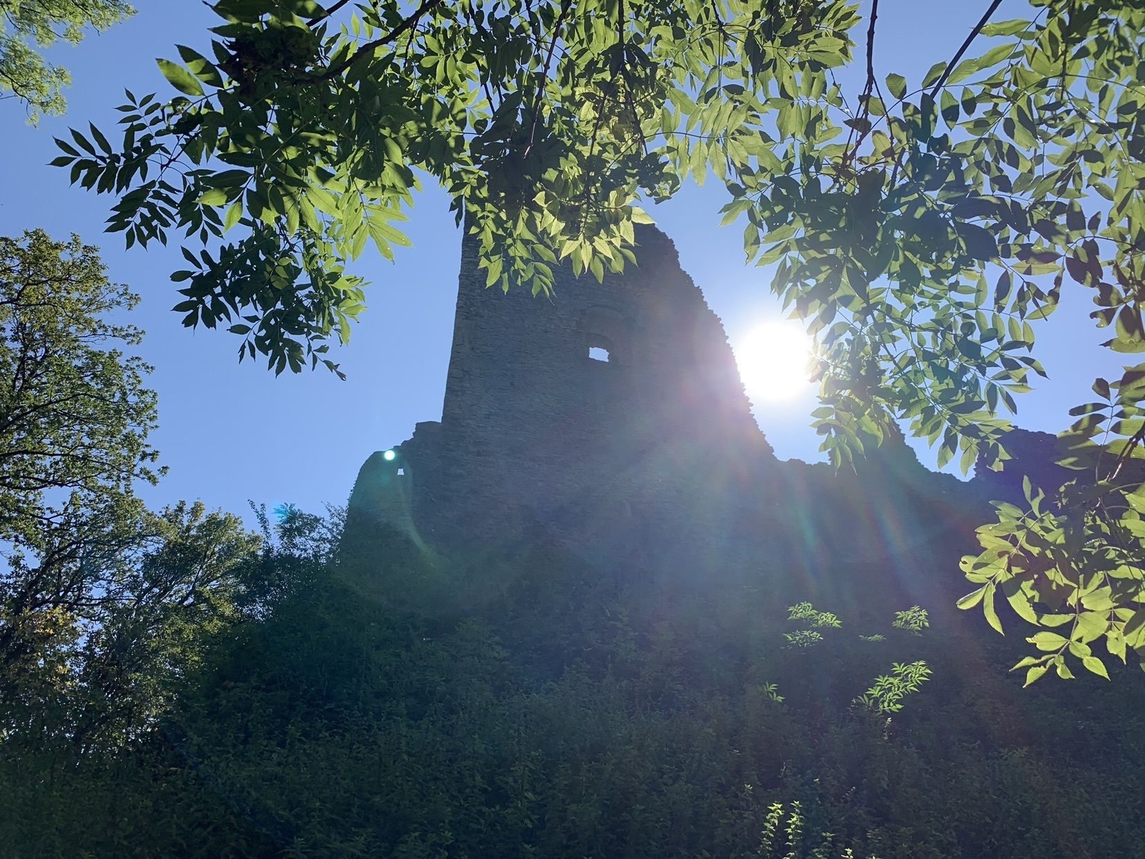
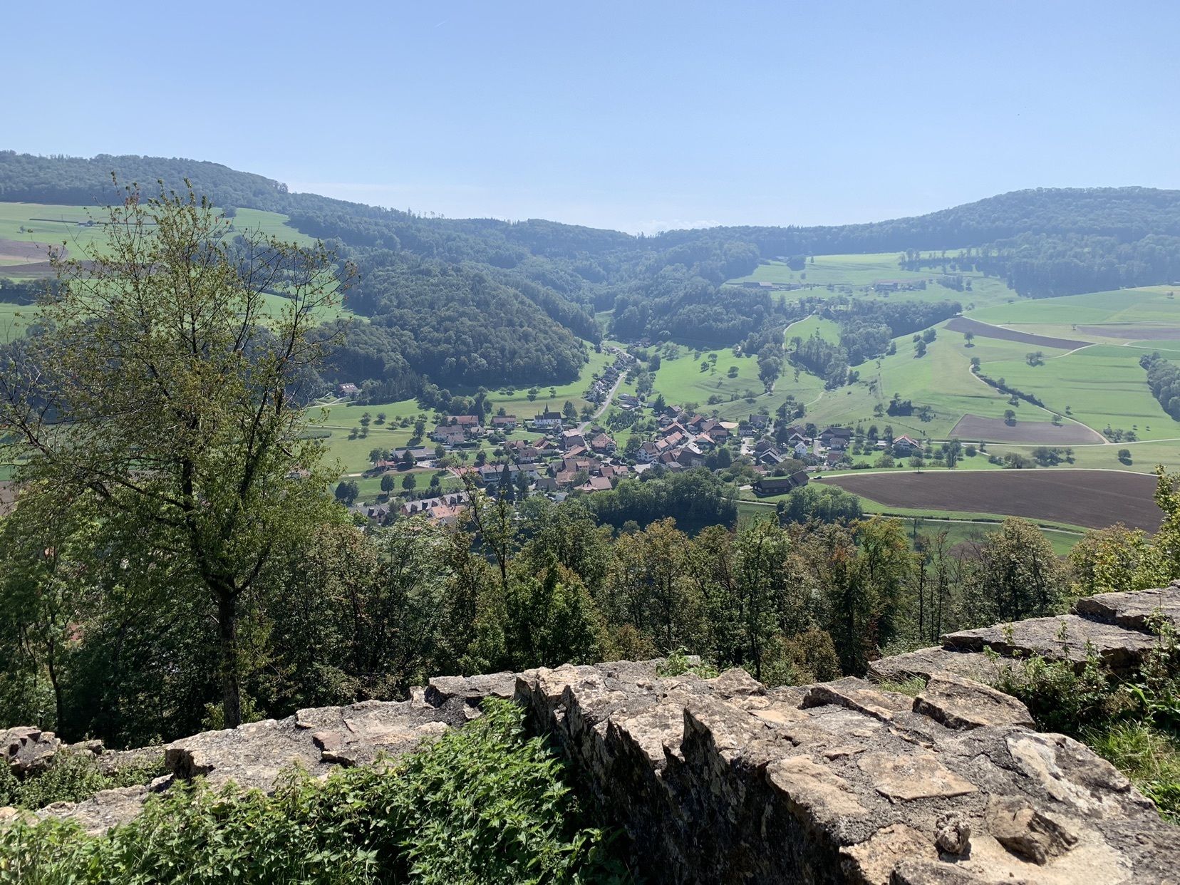
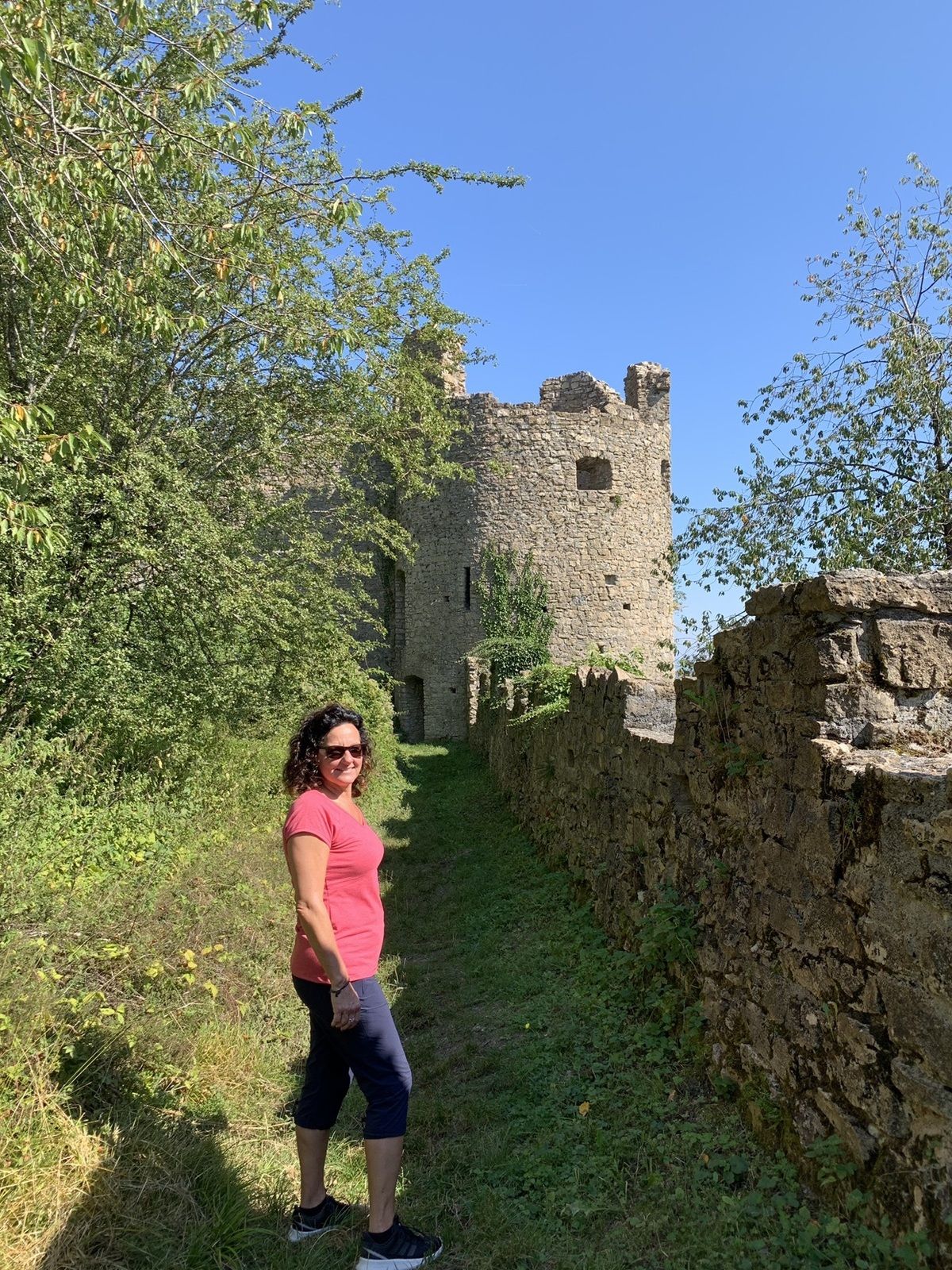
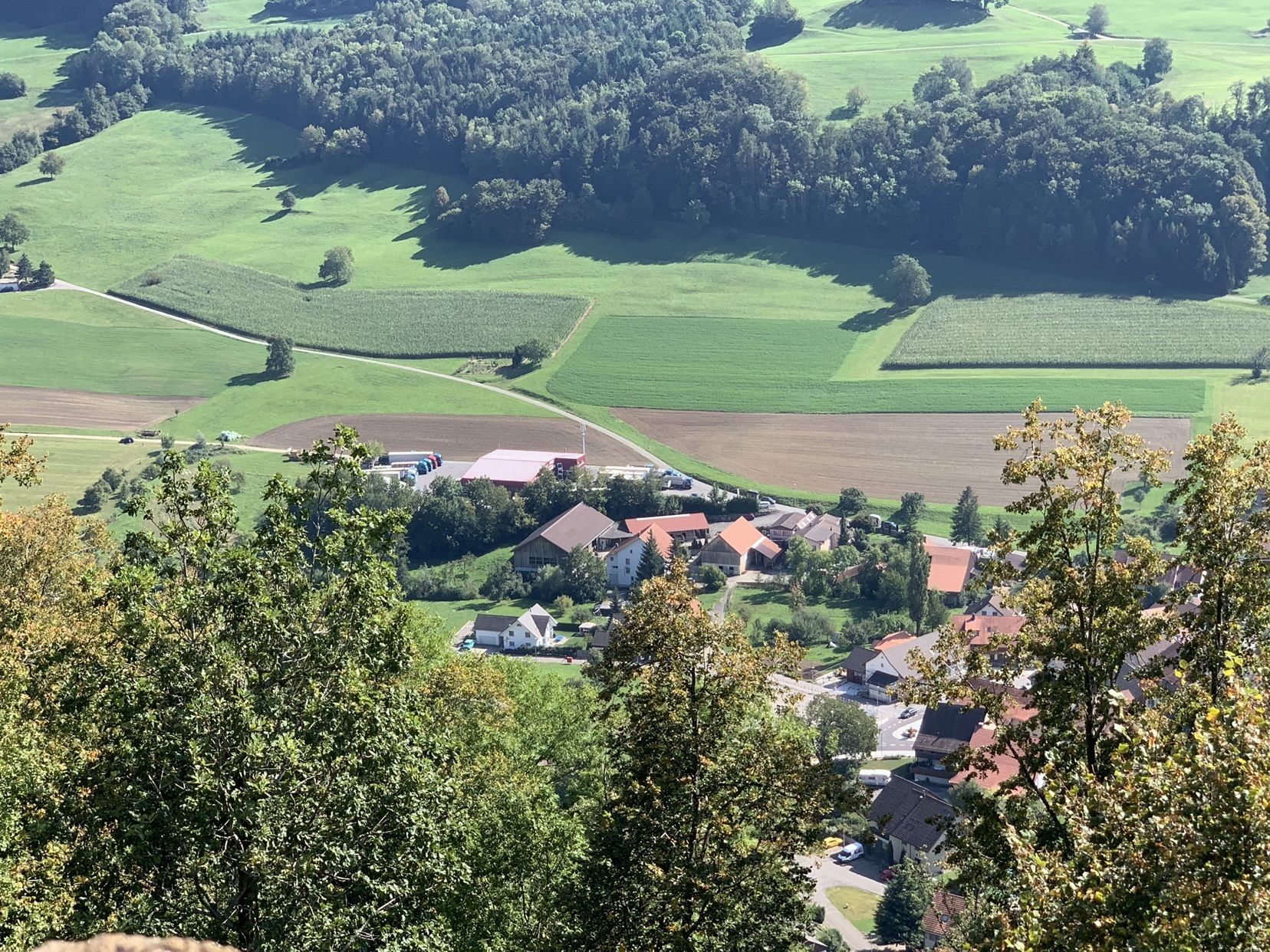
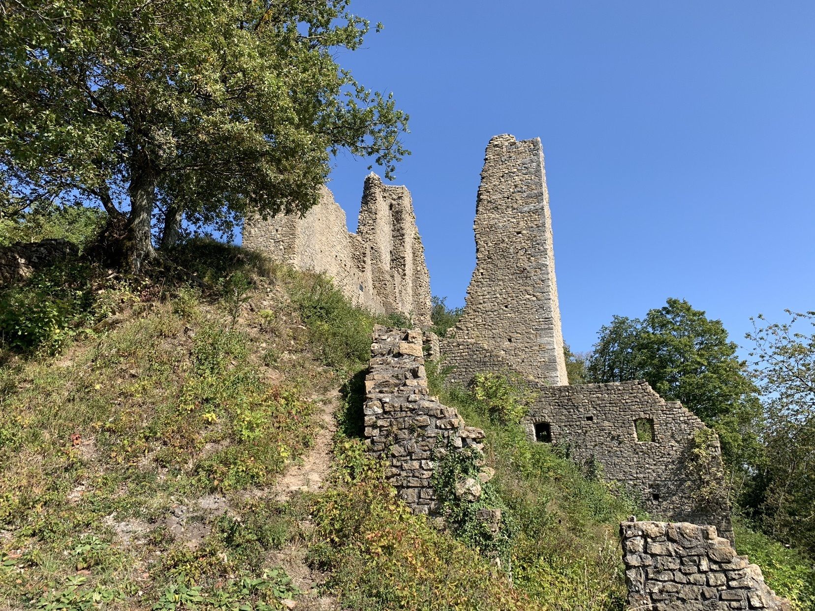
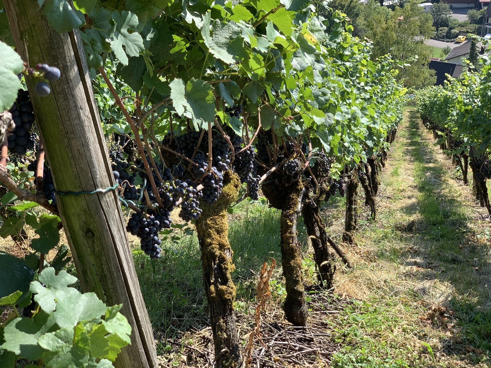
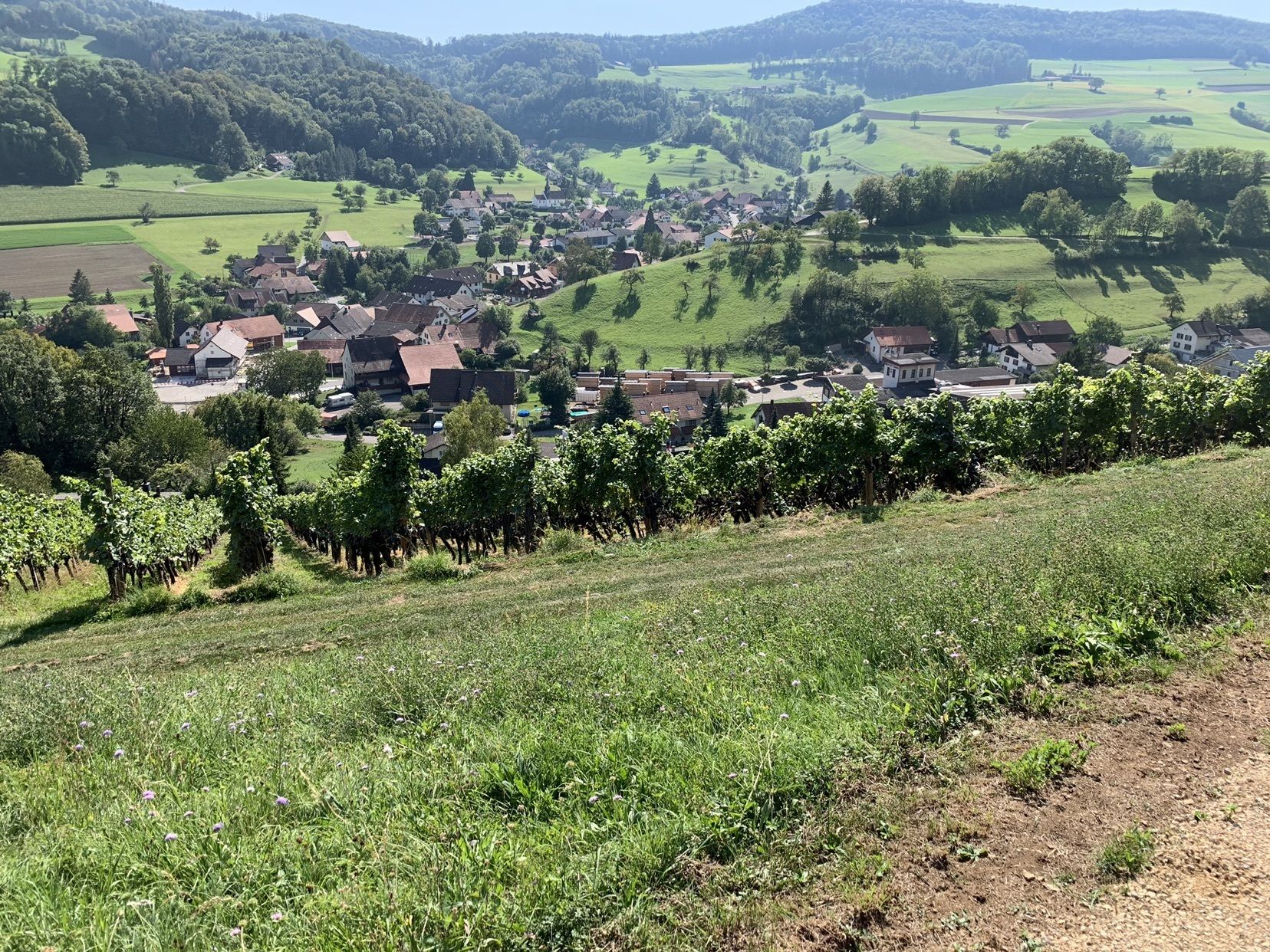
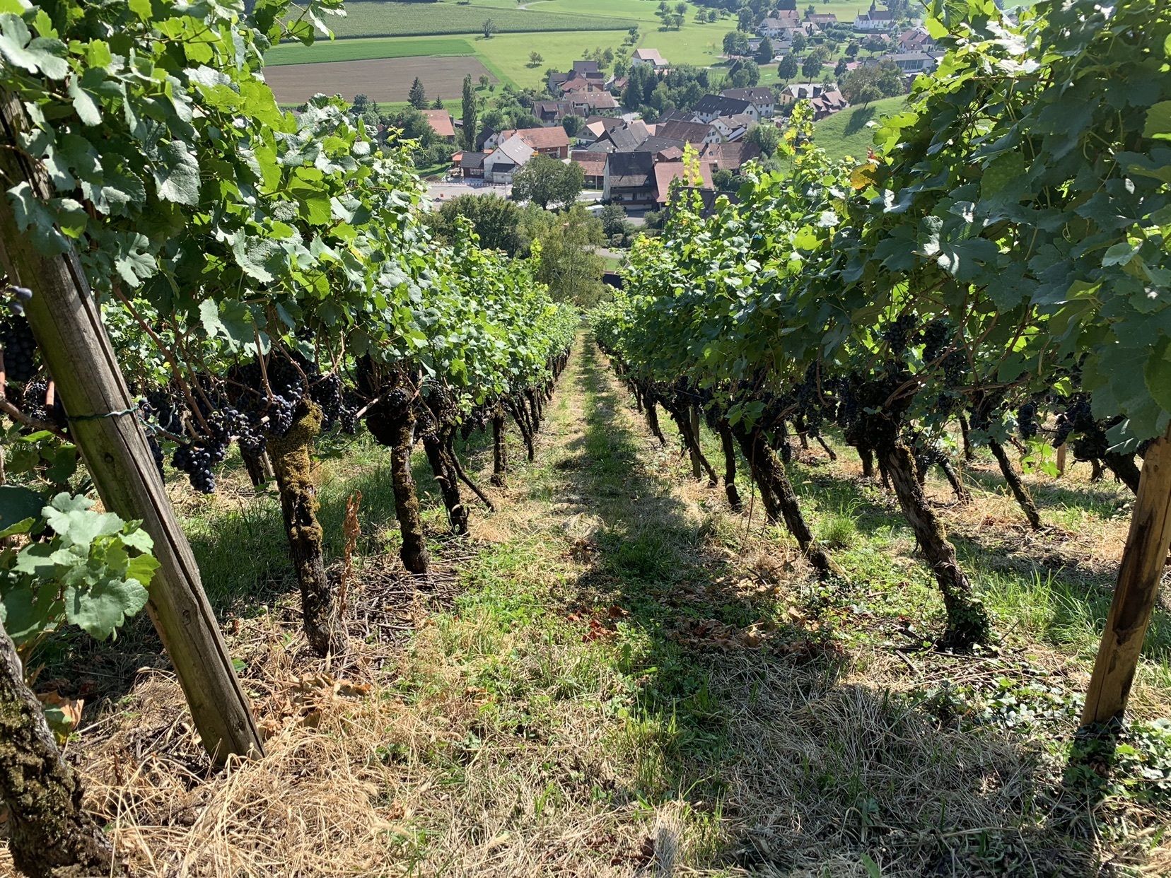
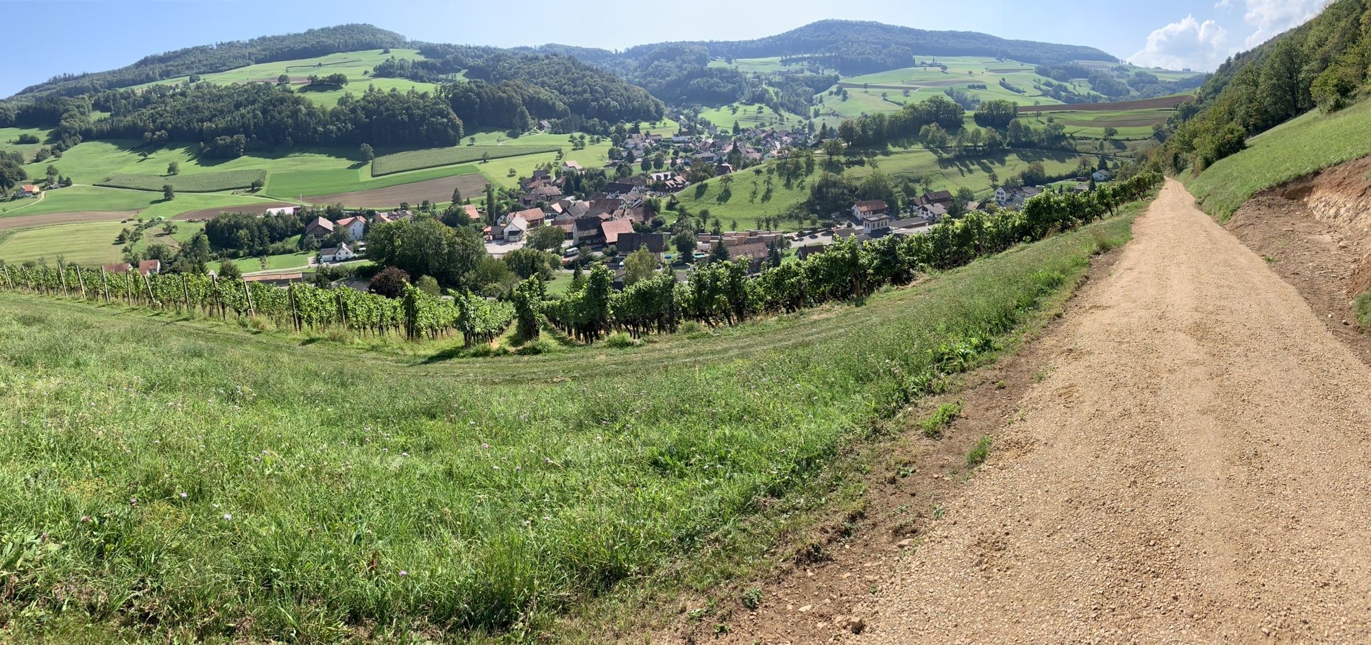
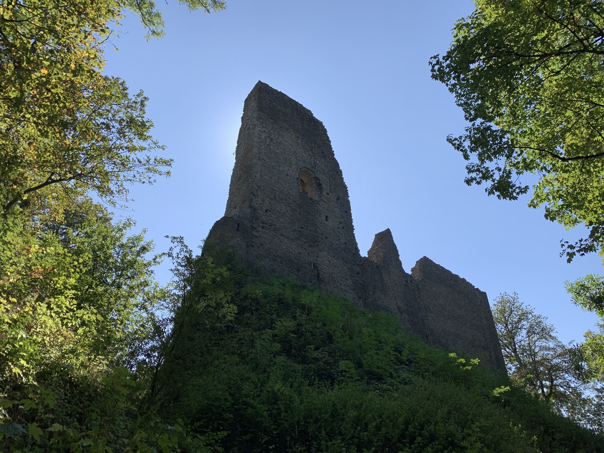
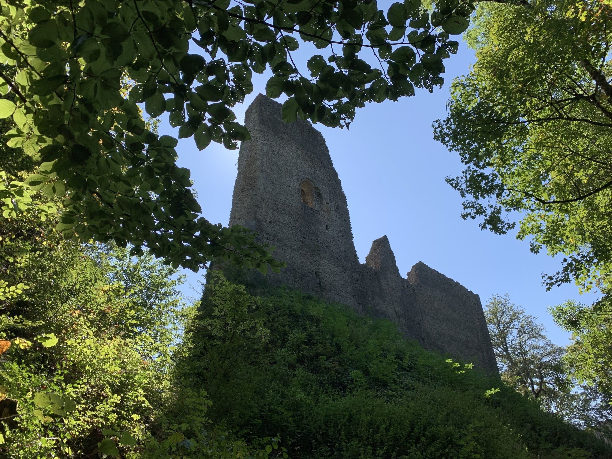
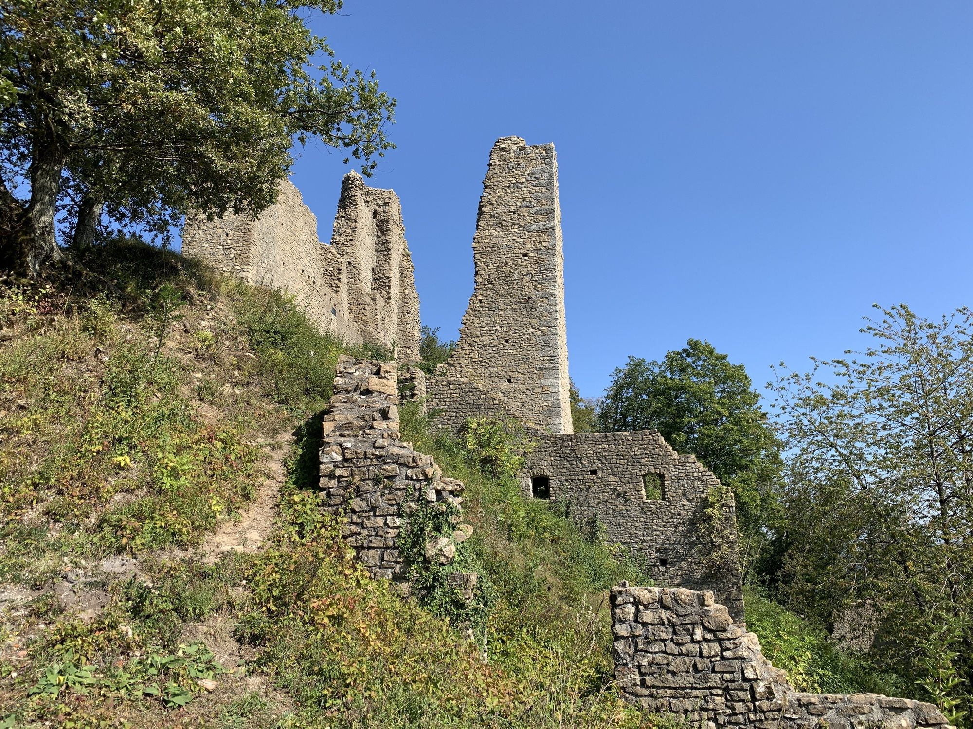
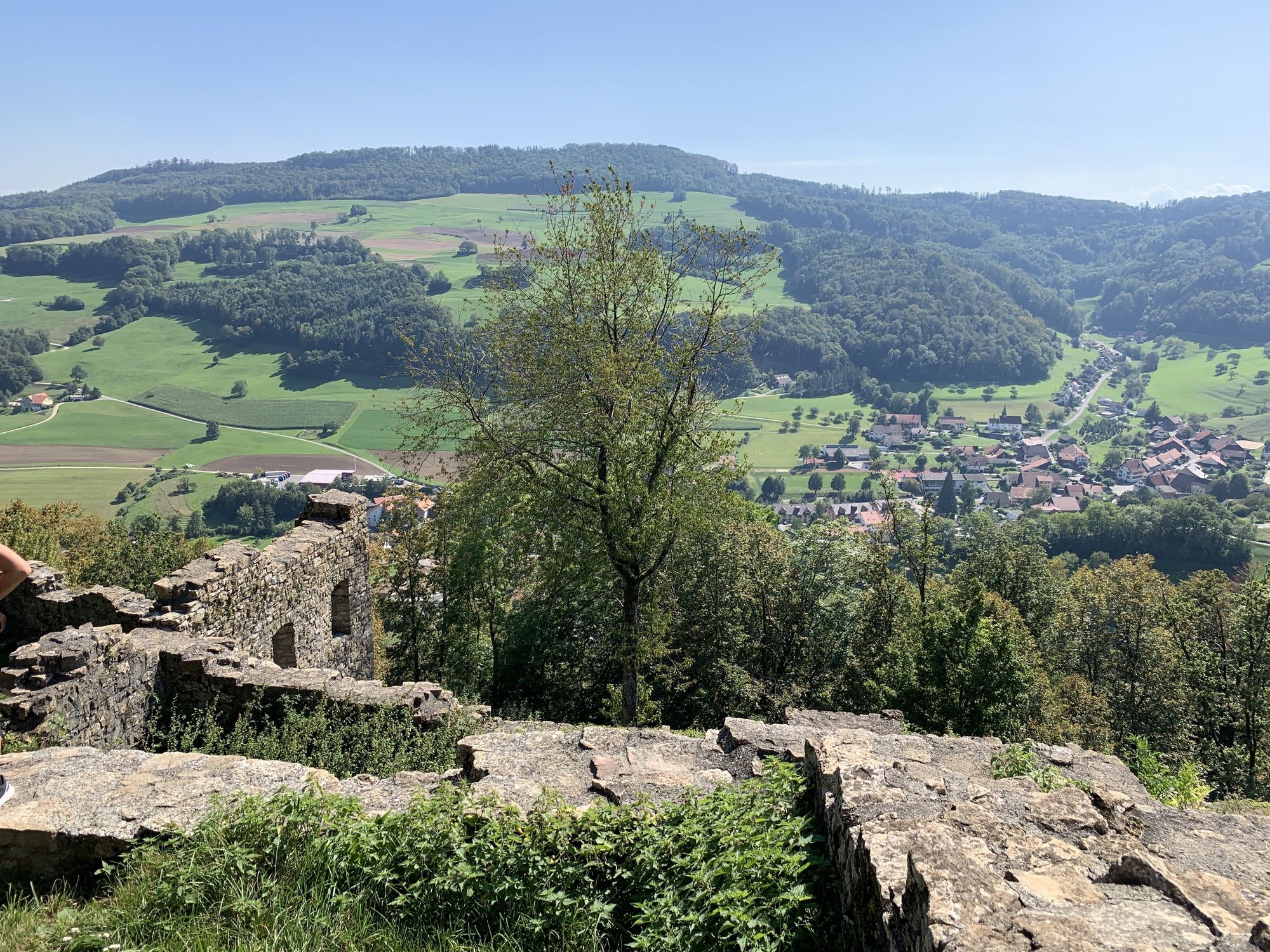
Schenkenberg (631 m)5.0 kmThalheim (451 m)6.4 kmWeingarten6.9 km
- Highest point
- 755 m
GPS Downloads


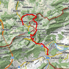
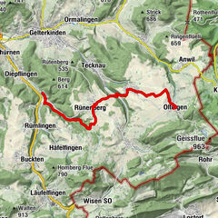
Other tours in the regions
-
Kanton Aargau
1506
-
Berner Aargau
783
-
Thalheim AG
256