St. Wolfgang - Mönichsee - Mitterersee - Himmelspforte - Schafbergspitze


- Brief description
-
Genauso anstrengend wie wunderschön!
- Difficulty
-
medium
- Rating
-
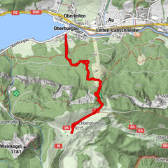
- Route
-
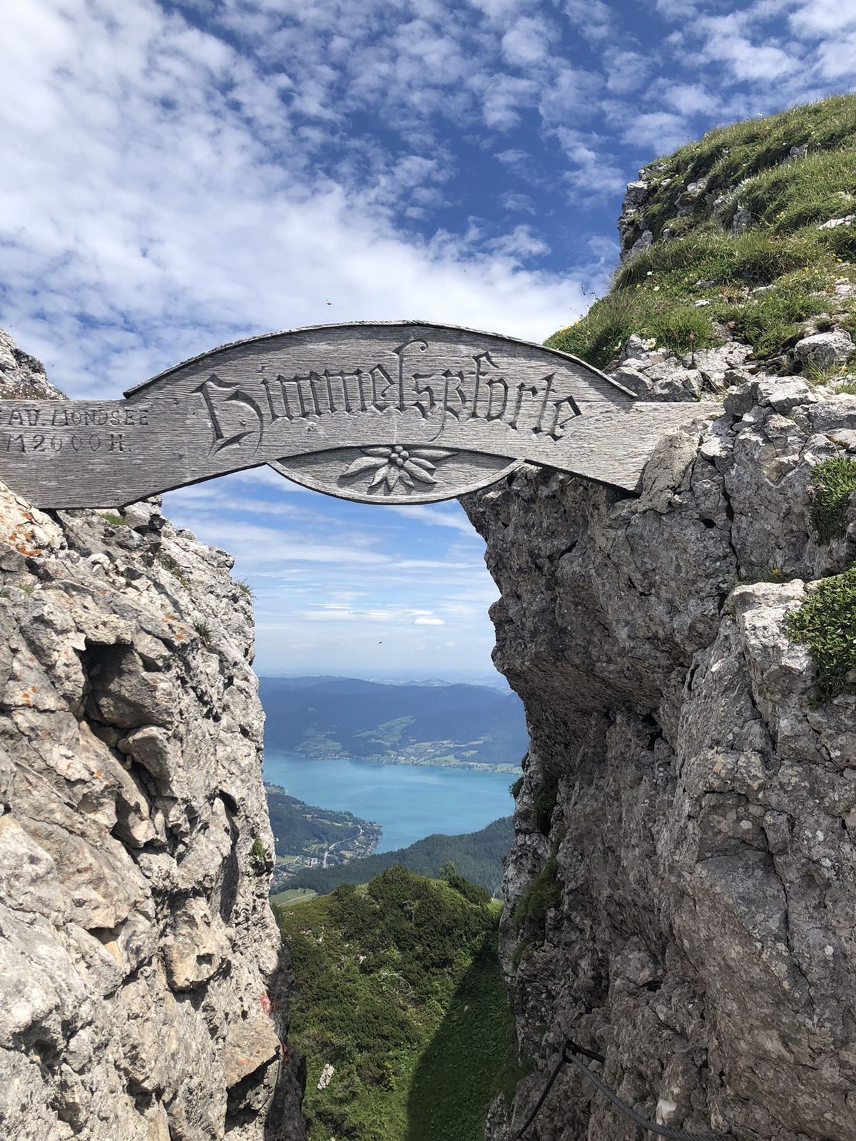
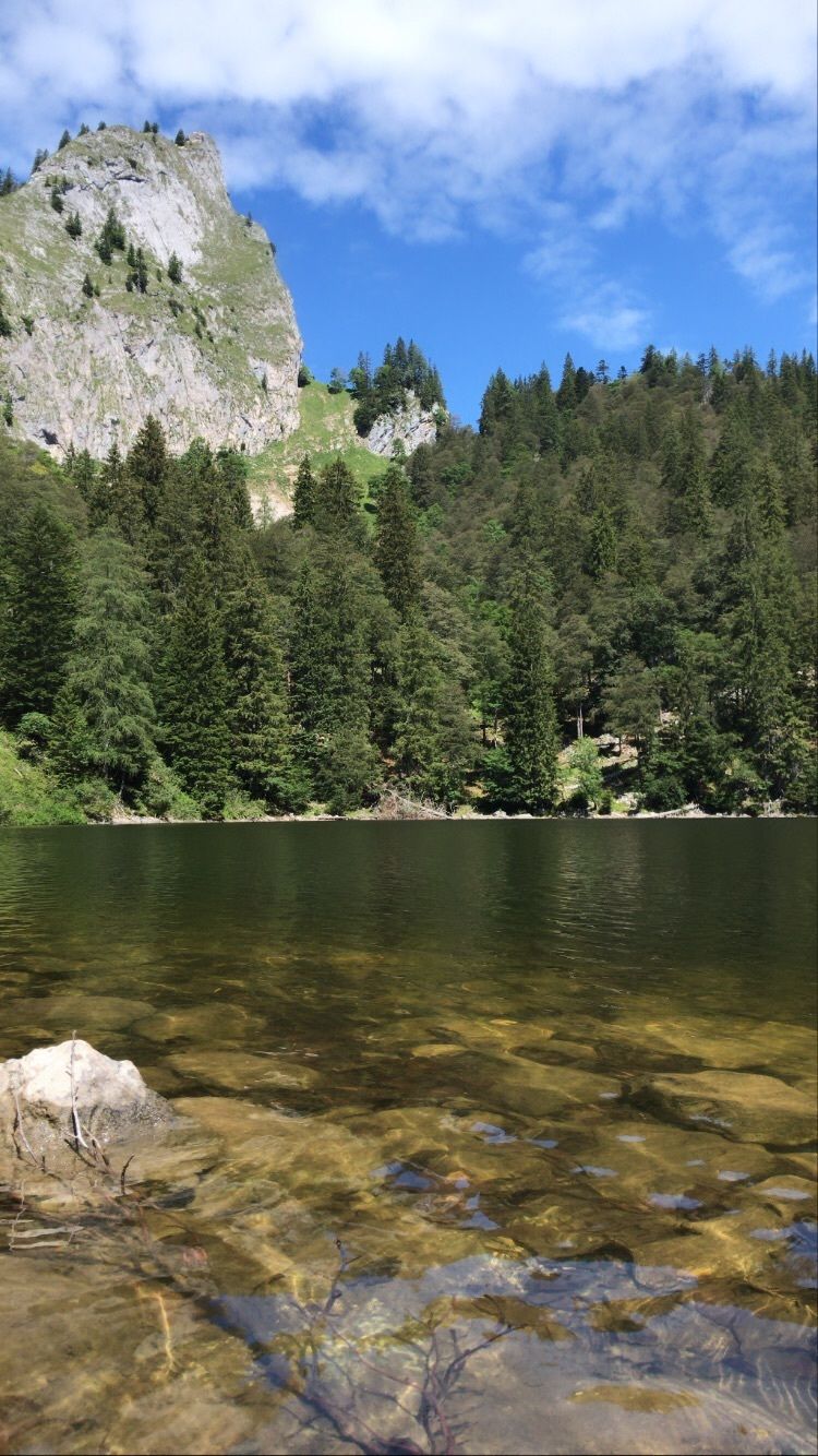
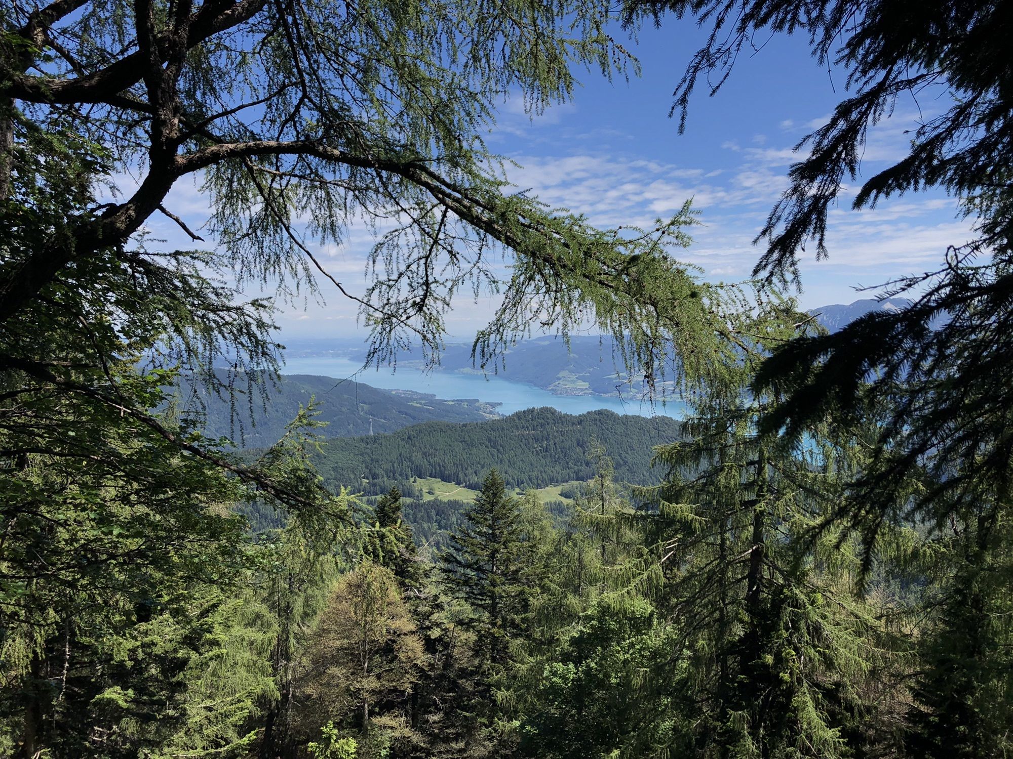
Evangelische Friedenskiirche0.0 kmSchafbergbahn0.2 kmSt. Wolfgang Schafbergbf (542 m)0.2 kmTörlspitz (1,589 m)5.8 kmHimmelspforte (1,736 m)8.5 kmHimmelspfortenhütte8.8 kmSchafberg (1,783 m)8.8 kmSchafberg panorama (1,783 m)8.9 kmHotel Schafbergspitze8.9 km
- Description
-
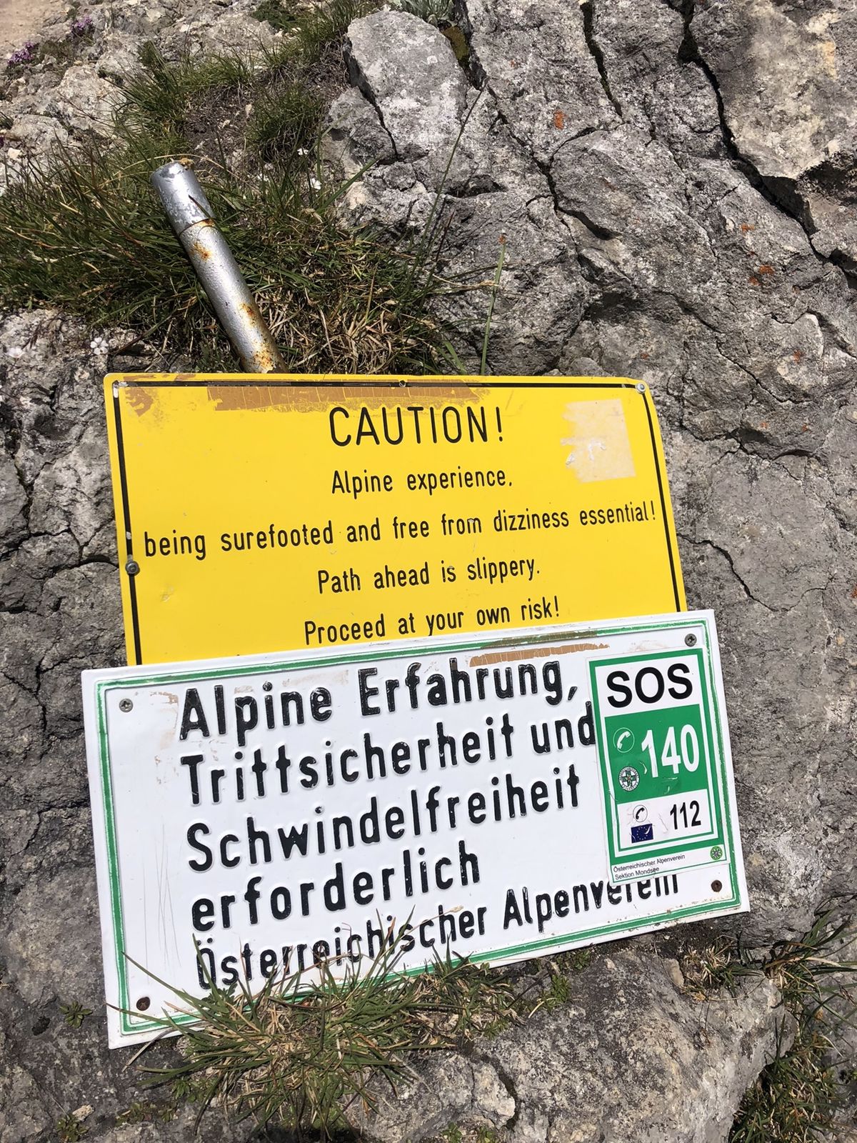
*Difficulty: medium to difficult.
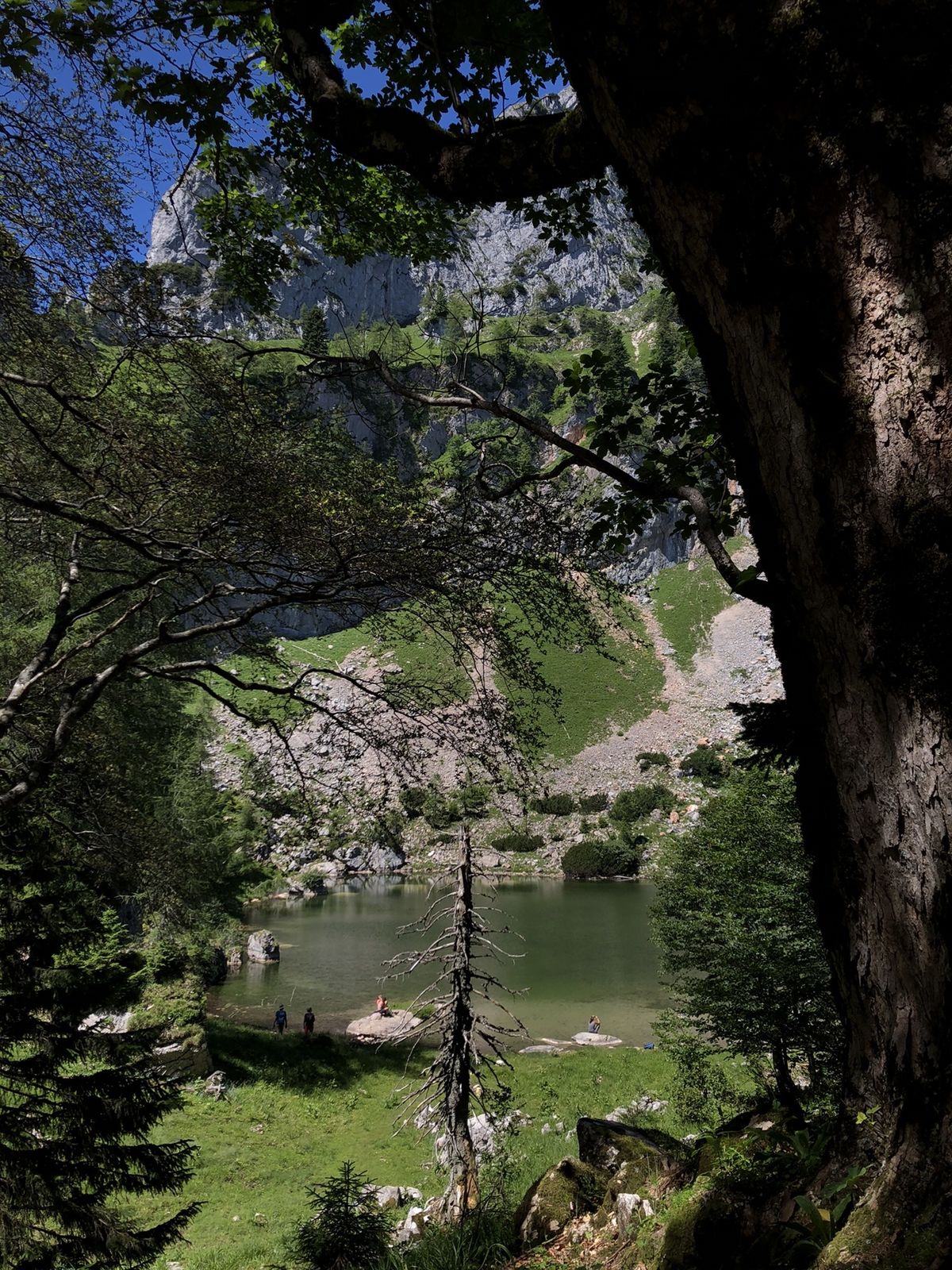
*Please note: In snow and wet conditions the last 500m are of course more difficult than in good weather and TOP conditions. Please pay attention to the weather forecast and the existing touring conditions.From the car park through steep forest, past the waterfall. Then over a ladder construction, past a hunting lodge. Then briefly onto the forest road, then keep left and follow the narrow hiking trail past the memorial plaque to the Eisenaueralm. From there, across a beautiful meadow, relatively flat to the edge of the forest. From here it is very steep to the saddle, the bivouac hut. From there, first follow the path across, then steeply through the wall to the Himmelspforte. Wire ropes and steps are available! Passing the summit, you come to the 'Himmelspforte' and the hut.
- Highest point
- 1,770 m