-
 1789 Hits
-
 76.66% Score
-
 7 Votes
|
|
Mountain/Rock |
|---|---|
|
|
Hiking, Skiing |
|
|
Spring, Summer, Fall, Winter |
|
|
6818 ft / 2078 m |
|
|
Overview
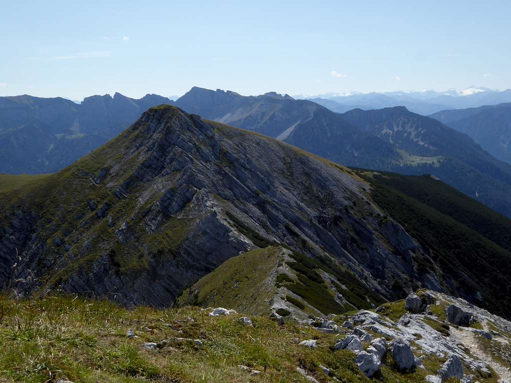
Useless!
Sometimes people tell us, that our passion for mountains is useless. Going up and going down a mountain without a real purpose for them is futile.
We know that is nonsense. Nevertheless summiting a mountain, called Unnütz – useless – is a rather strange thing.
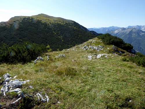
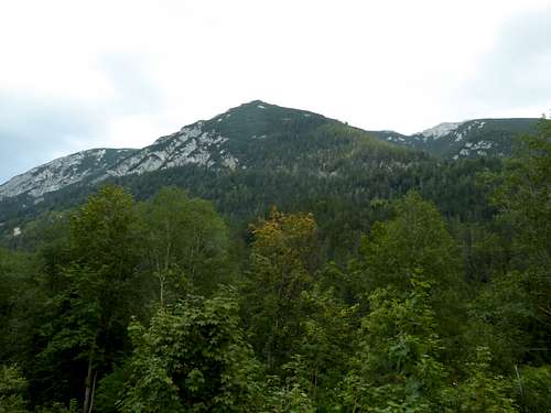
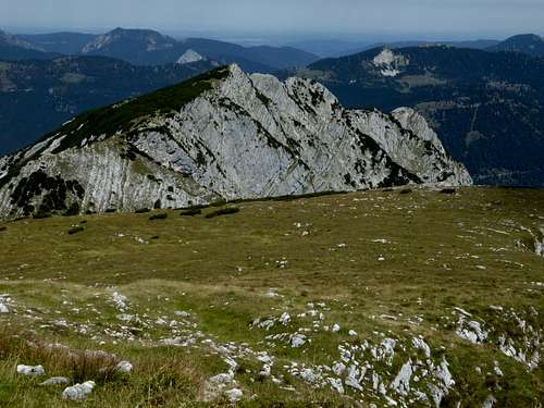
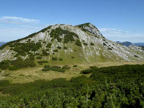
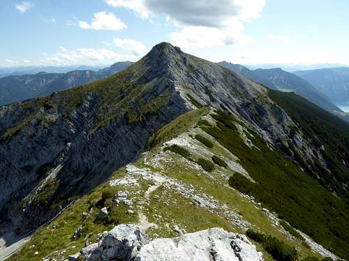
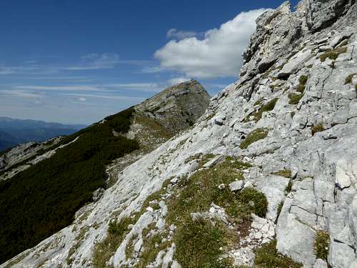
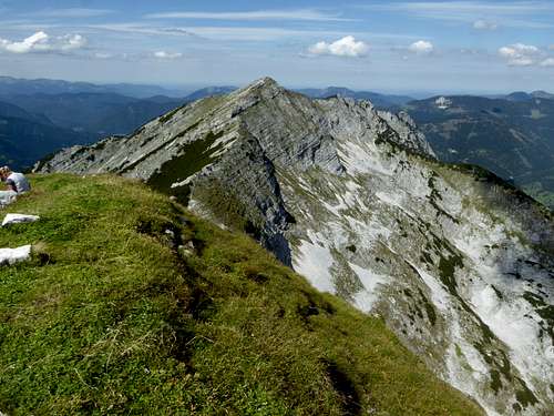
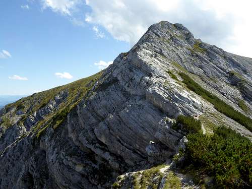
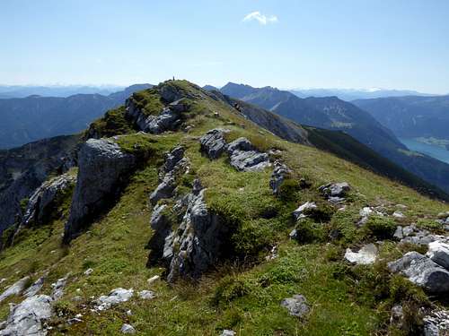
There are three summits along this huge mountain ridge, rising east of the Achenkirch valley: Hinterunnütz, Hochunnütz and Vorderunnütz. A full traverse of these three useless peaks is not at all useless. Nevertheless a strange denomination.
I´ve heard of two explanations:
As around this mountain there are no good meadows for cattle, natives of the valleys have called the mountain useless.
Another explanation says that in winter parts of Steinberg valley are without sun, due to this useless mountain …..
I do prefer the first explanation.
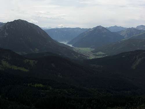
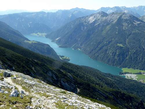
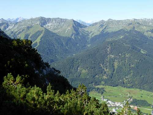
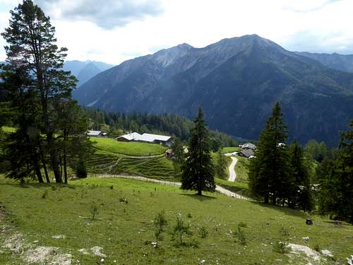
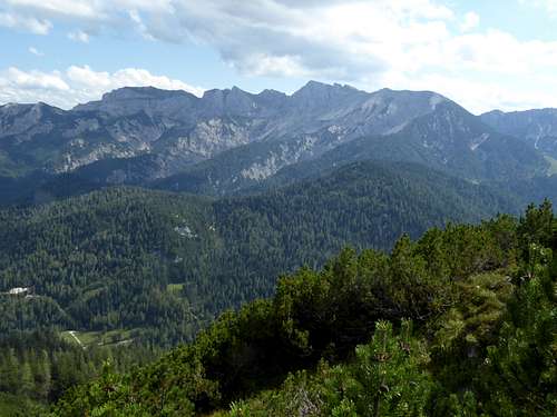
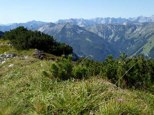
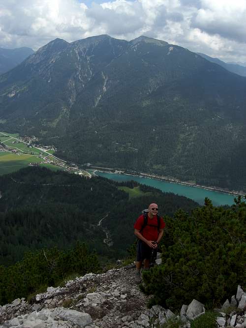
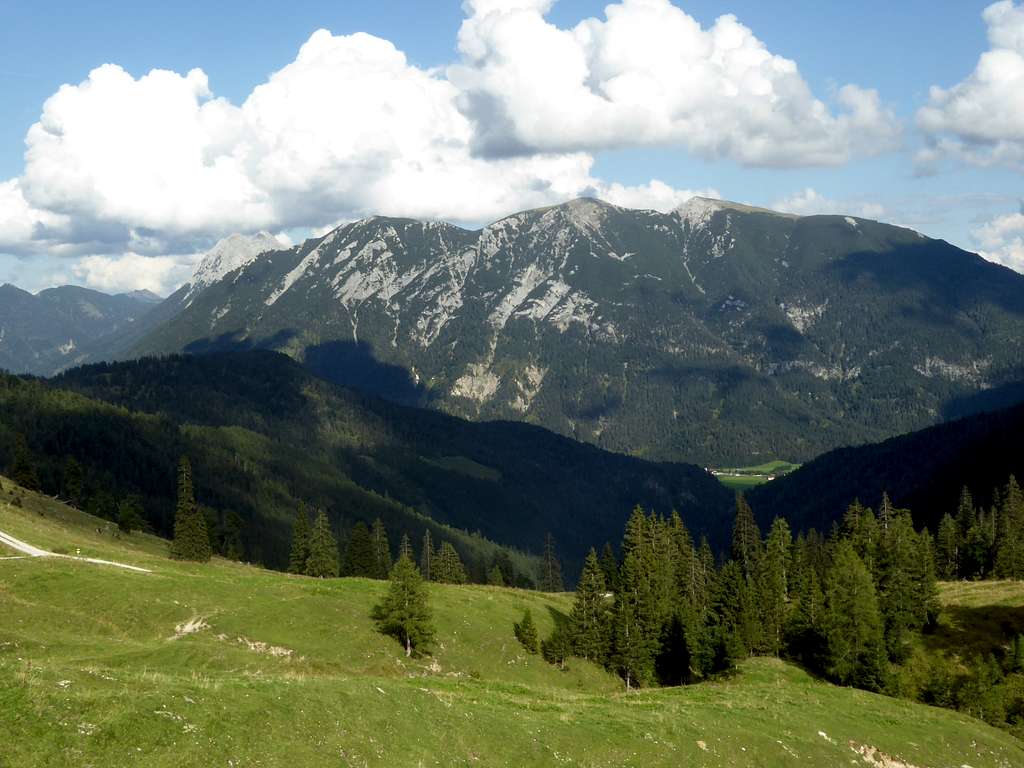
Unnütz is part of Brandenberger Alpen and rises about 1100 meters above the surrounding valleys and is in itself a south – north running monolithic ridge, bearing the three above mentioned summits. Unnütz is bordered by Achenkirch valley to the west, Steinberg valley to the north and east and Gaismoosbach valley to the south. Via Kögljochsattel, a broad col, Unnütz is linked to the northernmost Rofan mountains, like Kotalmjoch.
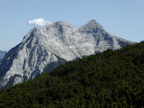
Huge and impressive neighbour summit to the northeast is Guffert, standing likewise lonely and separated as Unnütz ridge.
Hiking up Unnütz is not useless at all ….
Getting There
Trailheads for hikers are:
Achenkirch parking area above Posthotel, east of road number 181
Achenkirch / Scholastika, parking area near Hotel resort Achensee
Steinberg / Guffertseite
Ski routes:
Steinberg Landesstraße about 2,7 km before you enter Steinberg village (forest roads branching off west of road; more difficult route).
Alternatively parking area at Steinberg ski lift (easy route)
You reach Achenkirch by car:
From Munich or Salzburg directions
- best on highway number A 8 to the exit Holzkirchen. Proceed on road number 13 via Bad Tölz and Lenggries to Sylvenstein dammed lake and on road number B307 to the German / Austrian border; alternatively
- on road number B318 to Tegernsee / Rottach Egern and on road number B307 to Achenpass and the German/Austrian border.
- Take Austrian road number 181 to Achenkirch, The first Achenkirch trailhead / parking area is on the left side of road number 181 at Parkhotel Achenkirch. The second Achenkirch trailhead is on the left side immediately behind Hotel Achensee Resort.
From Innsbruck and Kufstein direction
- take Austrian highway A 12 (toll road) to exit Jenbach. Go on road number 181 to Maurach and Achenkirch, arriving first at the trailhead near Hotel Achensee resort (right of you) then the one at Post Hotel (parking area also on your right).
- Road L221 branches off road number 181 north of Achenkirch and goes to Steinberg. There are parking possibilities in Steinberg village or at the ski lift at Steinberg.
Public transportation:
The nearest German railway station is at Tegernsee. Bus number 9550 goes to Achenkirch (bus stop “Bäckerei” for the trailhead at Post Hotel; bus stop “Sport Bußlehner” for the trailhead at Achensee Resort).
The nearest Austrian railway station is at Jenbach/Inntal valley. Bus number 4080 goes to the above mentioned bus stops at Achenkirch and proceeds to Steinberg.
Routes Overview
Unnütz trails and ski routes
Trailhead parking area near Posthotel:
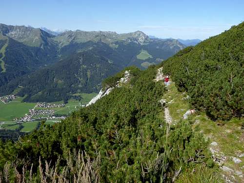
Forest road and then trail up to Zöhrer Alm hut. Steep trail up to Hinterunnütz. Follow trail in southern direction first into a col and then up to Hochunnütz summit (easy meadows). Follow the ridge crest down to the col between Hoch- and Vorderunnütz. After the col short climbing section (UIAA grade I). Via east ridge up to Vorderunnütz summit.
Trailhead near Achensee resort:
Forest road and/or trail up to Köglalm and Köglalm col. Steep trail up to Vorderunnütz. Traverse like described above in the reverse direction.
Trailhead Steinberg:
Go south and pass by a quarry on a forest road. Go into Hebingbach valley and ascend to Steinberger Kotalm on a trail. Follow the trail from the Alm hut around Schlagkopf and up the east ridge to the Vorderunnütz summit meadows. Shortly up in northern direction to the summit cross.
Ski routes:
Easy route: From Steinberg ski lift station ascend forest road to Gfaßsattel and to Steinberger Kotalm. Follow the east ridge around Schlagkopf to the summit meadows of Vorderunnütz and to the summit. Downhill like ascent.
Difficult route: From the trailhead follow the forest road into Schwarzenbach valley. Ascend Schwarzenbach valley up to the broad chute below Vorderunnütz summit. Ascend steeply this chute to the summit meadows and the summit. Downhill like ascent.
Red Tape & Accommodation
No Red Tape
Accommodation:
Mountain hut:
Köglalm (food and drinks)
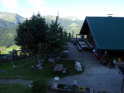
Zöhrer Alm (food and drinks)
Gear & Mountain Condition
The Unnütz ridge can be climbed the whole year round.
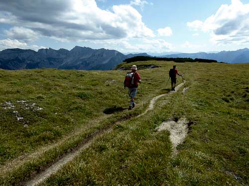
In late spring, summer and autumn all three summits are hiking summits on good but in part steep trails. Good shoes and hiking gear is sufficient.
In winter and early spring the summit of Vorderunnütz is a nice ski destination and a ski tour for the more experienced skiiers as the route is steep. You need sufficient snow cover (dwarf pines) and a secure avalanche situation (north side).
Check the Tirol avalanche bulletin here.
Weather condition:
Map
Alpenvereinskarte, scale 1 : 25000
Number BY14, Bayerische Alpen, Mangfallgebirge Süd, Guffert, Unnütz, Juifen;
with trails, ski and snow shoe routes and UTM grid


